List of airports in Eswatini
This is a list of airports in Eswatini, sorted by location.

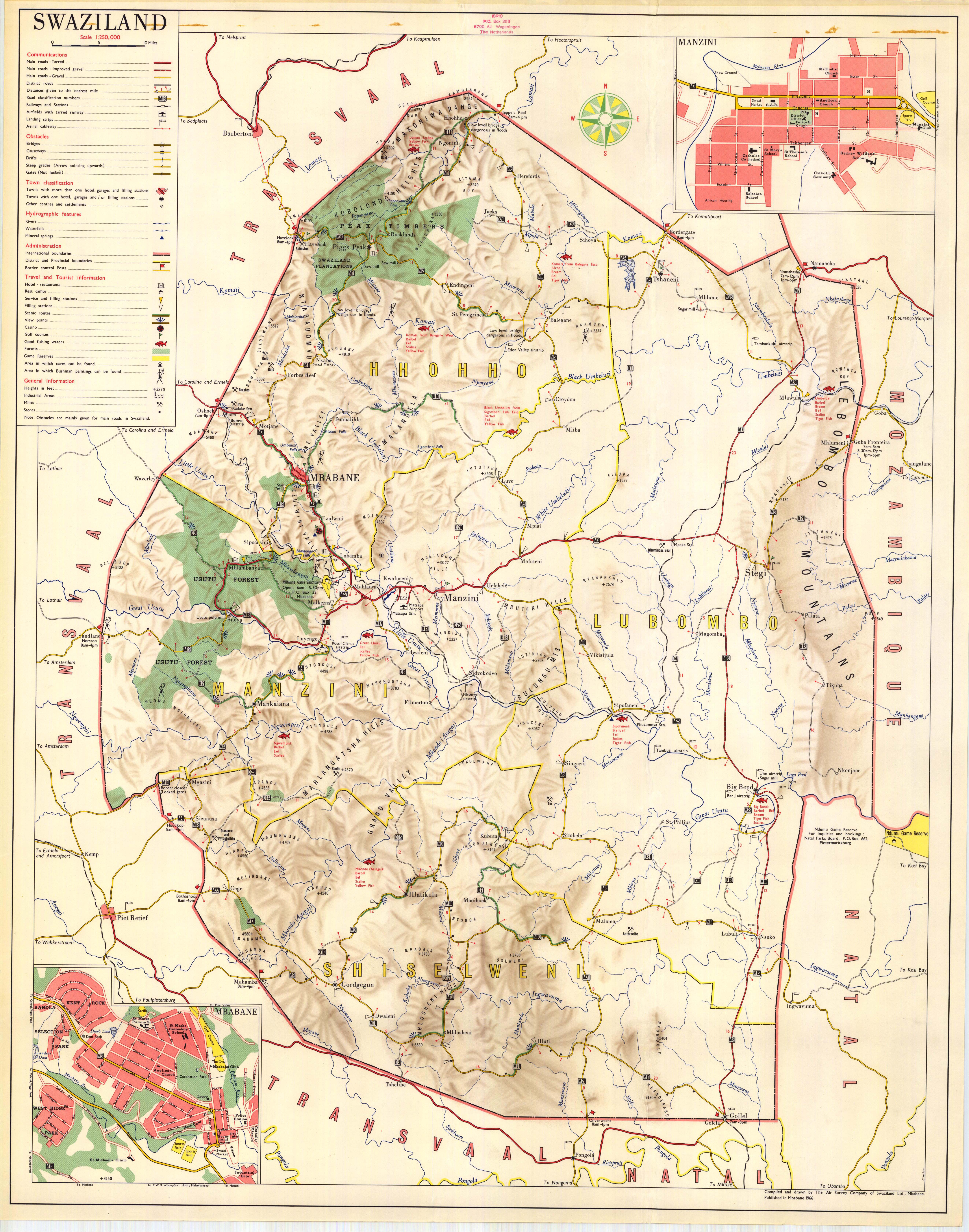
Eswatini is a landlocked country in southern Africa, bordered to the north, south, east and west by South Africa, and to the east by Mozambique. The nation, as well as its people, are named after the 19th-century king Mswati II. Eswatini is divided into four districts: Hhohho, Lubombo, Manzini, and Shiselweni. The capital of Swaziland is Mbabane, while the country's traditional and legislative capital is Lobamba.
Airports
Names shown in bold indicate the airport has scheduled passenger service on commercial airlines.
Most of the airfields listed below are unpaved. The exceptions are Matsapha Airport and Sikhuphe International Airport.
The airstrip at Tshaneni is not to be confused with "Tshaneni Airport", a planned transportation hub based around the airstrip in Mkuze, a nearby town on the other side of the South African border.
See also
- King Mswati III International Airport (Sikhuphe)
- Transport in Eswatini
- List of airports by ICAO code: F#FD - Eswatini
- Wikipedia: WikiProject Aviation/Airline destination lists: Africa#Swaziland
References
- "ICAO Location Indicators by State" (PDF). International Civil Aviation Organization. 2006-01-12.
- "UN Location Codes: Swaziland". UN/LOCODE 2009-1. UNECE. 2009-09-23. - includes IATA codes
- Great Circle Mapper: Airports in Swaziland - IATA and ICAO codes, coordinates
- Airport Locator, ICAO, and IATA Airport Codes Lookup (Swaziland)
- Airports of the world (Swaziland)
- Airports in Swaziland
- Google maps
| History |  | ||
|---|---|---|---|
| Geography | |||
| Politics | |||
| Economy |
| ||
| Society | |||