List of airports in Benin
This is a list of airports in Benin, sorted by location.
Bembèrèkè
Cana (Bohicon)
Cadjehoun (Cotonou)
Djougou
Kandi
Natitingou
Parakou
Porga
Savé
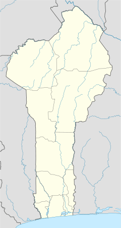
Location of airports in Benin
Benin, officially the Republic of Benin (French: République du Bénin), is a country in West Africa. It borders Togo to the west, Nigeria to the east and Burkina Faso and Niger to the north; its short coastline to the south leads to the Bight of Benin.
Airports
Airport names shown in bold indicate the airport has scheduled service on commercial airlines.
| City served | Department | ICAO | IATA | Airport name | Coordinates |
|---|---|---|---|---|---|
| Bembèrèkè | Borgou | DBBR | Bembereke Airport | 10°16′25″N 002°41′46″E | |
| Bohicon | Zou | DBBC | Cana Airport | 07°07′32″N 002°02′49″E | |
| Cotonou | Littoral | DBBB | COO | Cadjehoun Airport | 06°21′26″N 002°23′04″E |
| Djougou | Donga | DBBD | DJA | Djougou Airport | 09°41′31″N 001°38′15″E |
| Kandi | Alibori | DBBK | KDC | Kandi Airport | 11°08′41″N 002°56′23″E |
| Natitingou | Atakora | DBBN | NAE | Boundétingou Airport | 10°22′37″N 001°21′37″E |
| Parakou-Tourou | Borgou | DBBP | PKO | Parakou Airport | 09°21′25″N 002°36′33″E |
| Parakou | Borgou | DBBP | PKO | Parakou Airport | 09°21′25″N 002°36′33″E |
| Porga | Atakora | DBBO | Porga Airport | 11°02′47″N 000°59′35″E | |
| Savé | Collines | DBBS | SVF | Savé Airport | 08°01′05″N 002°27′52″E |
See also
- Transport in Benin
- List of airports by ICAO code: D#DB - Benin
- Wikipedia: WikiProject Aviation/Airline destination lists: Africa#Benin
References
- "ICAO Location Indicators by State" (PDF). International Civil Aviation Organization. 17 September 2010.
- "UN Location Codes: Benin". UN/LOCODE 2011-2. UNECE. 28 February 2012. - includes IATA codes
- Great Circle Mapper: Airports in Benin - IATA and ICAO codes, coordinates
- Airport records for Benin at Landings.com. Retrieved 2013-08-09
This article is issued from Wikipedia. The text is licensed under Creative Commons - Attribution - Sharealike. Additional terms may apply for the media files.