Lauderdale, Mississippi
Lauderdale is an unincorporated community and census-designated place (CDP) in Lauderdale County, Mississippi, United States. It is situated along U.S. Highway 45, 16 miles (26 km) northeast of Meridian, the county seat.[1] The population of Lauderdale was 442 at the 2010 census.[2]
Lauderdale, Mississippi | |
|---|---|
 Lauderdale  Lauderdale | |
| Coordinates: 32°31′15″N 88°30′41″W | |
| Country | United States |
| State | Mississippi |
| County | Lauderdale |
| Area | |
| • Total | 2.86 sq mi (7.41 km2) |
| • Land | 2.86 sq mi (7.41 km2) |
| • Water | 0.0 sq mi (0.0 km2) |
| Elevation | 215 ft (66 m) |
| Population (2010) | |
| • Total | 442 |
| • Density | 155/sq mi (59.7/km2) |
| Time zone | UTC-6 (Central (CST)) |
| • Summer (DST) | UTC-5 (CDT) |
| ZIP code | 39335 |
| Area code(s) | 601 |
| FIPS code | 28-39600 |
| GNIS feature ID | 2586601 |
Geography
Lauderdale is located in northeastern Lauderdale County at 32°31′15″N 88°30′41″W. According to the United States Census Bureau, the CDP has an area of 2.9 square miles (7.4 km2), all of it recorded as land.[3] The community is in the valley of Possum Creek, just south of where it joins Ponta Creek, an east-flowing tributary of the Sucarnoochee River, part of the Tombigbee River watershed.
References
- "Lauderdale, Mississippi". Geographic Names Information System. United States Geological Survey.
- "Total Population: 2010 Census DEC Summary File 1 (P1), Lauderdale CDP, Mississippi". data.census.gov. U.S. Census Bureau. Retrieved March 31, 2020.
- "U.S. Gazetteer Files: 2019: Places: Mississippi". U.S. Census Bureau Geography Division. Retrieved March 31, 2020.
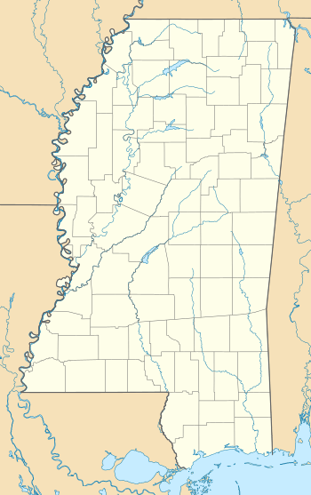
Municipalities and communities of Lauderdale County, Mississippi, United States | ||
|---|---|---|
| City | 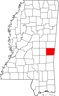 Map of Mississippi highlighting Lauderdale County | |
| Town | ||
| CDPs | ||
| Other unincorporated communities | ||
This article is issued from Wikipedia. The text is licensed under Creative Commons - Attribution - Sharealike. Additional terms may apply for the media files.