Lafitte, Louisiana
Lafitte is an unincorporated community and census-designated place (CDP) in Jefferson Parish, Louisiana, United States. The population was 972 at the 2010 census.[1] It is part of the New Orleans–Metairie–Kenner Metropolitan Statistical Area.
Lafitte, Louisiana | |
|---|---|
Census-designated place | |
 Voleo's Seafood restaurant in Lafitte | |
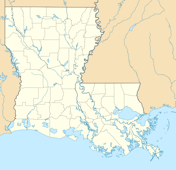 Lafitte, Louisiana Location of Lafitte in Louisiana | |
| Coordinates: 29°40′39″N 90°06′19″W | |
| Country | United States |
| State | Louisiana |
| Parish | Jefferson |
| Area | |
| • Total | 6.4 sq mi (17 km2) |
| • Land | 4.8 sq mi (12 km2) |
| • Water | 1.6 sq mi (4 km2) |
| Population (2010) | |
| • Total | 972 |
| • Density | 150/sq mi (59/km2) |
| Time zone | UTC-6 (CST) |
| • Summer (DST) | UTC-5 (CDT) |
| ZIP Code | 70067 |
| Area code(s) | 504 |
Lafitte is located at the southern end of Louisiana Highway 45 along Bayou Barataria, and fishing is a major part of the local economy and culture.
Geography
Lafitte is located at 29°40′39″N 90°6′19″W (29.677566, -90.105386).[1] It is 27 miles (43 km) by road south of New Orleans. Lafitte is bordered to the north by the town of Jean Lafitte, and to the west, across Bayou Barataria, by unincorporated Barataria.
According to the United States Census Bureau, the Lafitte CDP has a total area of 6.4 square miles (16.6 km2), of which 4.8 square miles (12.5 km2) are land and 1.6 square miles (4.1 km2), or 24.57%, are water.[2]
Demographics

As of the census[3] of 2000, there were 1,576 people, 556 households, and 439 families residing in the CDP. The population density was 276.5 people per square mile (106.8/km2). There were 623 housing units at an average density of 109.3 per square mile (42.2/km2). The racial makeup of the CDP was 94.54% White, 1.14% African American, 2.28% Native American, 0.51% Asian, 0.06% from other races, and 1.46% from two or more races. Hispanic or Latino of any race were 1.78% of the population.
There were 556 households out of which 33.5% had children under the age of 18 living with them, 66.5% were married couples living together, 7.9% had a female householder with no husband present, and 21.0% were non-families. Of all households 16.0% were made up of individuals and 5.9% had someone living alone who was 65 years of age or older. The average household size was 2.83 and the average family size was 3.17.
In the CDP, the population was spread out with 24.2% under the age of 18, 10.7% from 18 to 24, 26.6% from 25 to 44, 27.4% from 45 to 64, and 11.0% who were 65 years of age or older. The median age was 38 years. For every 100 females, there were 105.7 males. For every 100 females age 18 and over, there were 106.6 males.
The median income for a household in the CDP was $33,872, and the median income for a family was $43,816. Males had a median income of $32,782 versus $25,729 for females. The per capita income for the CDP was $14,839. About 14.3% of families and 15.9% of the population were below the poverty line, including 14.8% of those under age 18 and 18.5% of those age 65 or over.
Education
Lafitte residents are zoned to Jefferson Parish Public Schools.
Residents in K–6 are zoned to Lafitte Elementary School. Grades 7–12 are zoned to Fisher Middle-High School.
References
- "US Gazetteer files: 2010, 2000, and 1990". United States Census Bureau. 2011-02-12. Retrieved 2011-04-23.
- "Geographic Identifiers: 2010 Census Summary File 1 (G001): Lafitte CDP, Louisiana". American Factfinder. U.S. Census Bureau. Archived from the original on February 13, 2020. Retrieved July 3, 2018.
- "U.S. Census website". United States Census Bureau. Retrieved 2008-01-31.
External links
| Wikimedia Commons has media related to Lafitte, Louisiana. |
Municipalities and communities of Jefferson Parish, Louisiana, United States | ||
|---|---|---|
Parish seat: Gretna | ||
| Cities |  | |
| Towns | ||
| CDPs | ||
| Other unincorporated communities | ||
| Authority control |
|
|---|
- Sack, Kevin (2018-02-24). "Left to Louisiana's Tides, a Village Fights for Time". The New York Times. ISSN 0362-4331. Retrieved 2018-02-24.