Elmwood, Louisiana
Elmwood is a census-designated place (CDP) in Jefferson Parish, Louisiana, United States, within the New Orleans–Metairie–Kenner Metropolitan Statistical Area. The population was 4,635 at the 2010 census.[1] Elmwood was part of neighboring Jefferson's census area from 1960 to 1990. The ZIP Code serving Elmwood is 70123.
Elmwood, Louisiana | |
|---|---|
Census-designated place | |
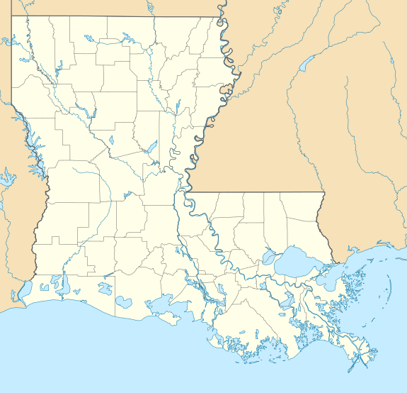 Elmwood, Louisiana Location of Elmwood in Louisiana | |
| Coordinates: 29°57′23″N 90°11′10″W | |
| Country | United States |
| State | Louisiana |
| Parish | Jefferson |
| Area | |
| • Total | 4.03 sq mi (10.4 km2) |
| • Land | 3.77 sq mi (9.8 km2) |
| • Water | 0.26 sq mi (0.7 km2) |
| Elevation | 3 ft (0.9 m) |
| Population (2010) | |
| • Total | 4,635 |
| • Density | 1,200/sq mi (440/km2) |
| Time zone | UTC−6 (CST) |
| • Summer (DST) | UTC−5 (CDT) |
| ZIP Code | 70123 |
| Area code(s) | 504 |
Geography
Elmwood is located in northern Jefferson Parish at 29°57′23″N 90°11′10″W (29.956455, −90.186098).[1] It is bordered to the north by Metairie, to the east by Jefferson, to the west by Harahan, and to the south, across the Mississippi River, by Avondale and Bridge City. The Huey P. Long Bridge, carrying U.S. Route 90, crosses the Mississippi from Elmwood to Bridge City. Downtown New Orleans is 9 miles (14 km) to the east.
According to the United States Census Bureau, the Elmwood CDP has a total area of 4.03 square miles (10.45 km2), of which 3.77 square miles (9.77 km2) are land and 0.26 square miles (0.68 km2), or 6.52%, are water.[2]
Demographics
As of the census[3] of 2000, there were 4,270 people, 2,602 households, and 850 families residing in the CDP. The population density was 1,159.0 people per square mile (448.0/km2). There were 2,928 housing units at an average density of 794.7 per square mile (307.2/km2). The racial makeup of the CDP was 80.40% White, 11.62% African American, 0.35% Native American, 4.57% Asian, 0.02% Pacific Islander, 1.45% from other races, and 1.59% from two or more races. Hispanic or Latino of any race were 5.25% of the population.
There were 2,602 households, out of which 11.0% had children under the age of 18 living with them, 24.8% were married couples living together, 5.0% had a female householder with no husband present, and 67.3% were non-families. Of all households 55.3% were made up of individuals, and 4.6% had someone living alone who was 65 years of age or older. The average household size was 1.62 and the average family size was 2.47.
In the CDP, the population was spread out, with 10.1% under the age of 18, 15.6% from 18 to 24, 50.1% from 25 to 44, 17.8% from 45 to 64, and 6.4% who were 65 years of age or older. The median age was 31 years. For every 100 females, there were 101.8 males. For every 100 females age 18 and over, there were 100.2 males.
The median income for a household in the CDP was $42,146, and the median income for a family was $61,176. Males had a median income of $41,352 versus $36,693 for females. The per capita income for the CDP was $34,329. About 4.6% of families and 13.3% of the population were below the poverty line, including 14.2% of those under age 18 and 13.5% of those age 65 or over.
Economy
Elmwood is home to the offices of the Strategic Petroleum Reserve, operated by Fluor for the United States Department of Energy.
Education
The Jefferson Parish Public School System (JPPSS) operates district public schools.[4]
Most residents are zoned to Harahan Elementary School in Harahan while some are zoned to Jefferson Elementary School in Jefferson.[5] Students are zoned to Riverdale Middle School,[6] and Riverdale High School.[7] In regards to the advanced studies academies, most areas are zoned to Airline Park Academy, while some areas are zoned to Metairie Academy.[8]
In 2012 the Jefferson Parish campus of the International School of Louisiana (ISL) charter school opened in a leased JPPSS building on South Clearview Parkway in Elmwood.[9][10] The JPPSS board later arranged for the charter school to move from the Elmwood facility to the former Ralph J. Bunche Academy in Metairie.[10]
References
- "US Gazetteer files: 2010, 2000, and 1990". United States Census Bureau. 2011-02-12. Retrieved 2011-04-23.
- "Geographic Identifiers: 2010 Census Summary File 1 (G001): Elmwood CDP, Louisiana". American Factfinder. U.S. Census Bureau. Archived from the original on February 13, 2020. Retrieved July 2, 2018.
- "U.S. Census website". United States Census Bureau. Retrieved 2008-01-31.
- "2010 CENSUS - CENSUS BLOCK MAP: Elmwood CDP, LA " (Archive). U.S. Census Bureau. Retrieved on May 18, 2014.
- "Elementary School Districts 2012-2013 East Bank of Jefferson Parish Louisiana " (Archive). Jefferson Parish Public School System. Retrieved on May 18, 2014.
- "Middle School Districts 2012-2013 East Bank of Jefferson Parish Louisiana " (Archive) Jefferson Parish Public School System. Retrieved on May 18, 2014.
- "High School Districts 2012-2013 East Bank of Jefferson Parish Louisiana ." (Archive) Jefferson Parish Public School System. Retrieved on May 18, 2014.
- "East Bank Advanced Studies Attendance Zones " (Archive). Jefferson Parish Public School System. Retrieved on May 18, 2014.
- Tan, Sarah. "The International School of Louisiana opens in Harahan." Times Picayune. November 23, 2012. Retrieved on May 18, 2014.
- "Jefferson Parish" () International School of Louisiana. December 18, 2012. Retrieved on May 18, 2014. "822 S. Clearview Parkway Harahan, LA 70123 (Located in Elmwood)"
External links


Municipalities and communities of Jefferson Parish, Louisiana, United States | ||
|---|---|---|
Parish seat: Gretna | ||
| Cities |  | |
| Towns | ||
| CDPs | ||
| Other unincorporated communities | ||