Jiutai District
Jiutai (Chinese: 九台; pinyin: Jiǔtái; lit.: 'nine platforms') is one of seven districts of the prefecture-level city of Changchun, the capital of Jilin Province, Northeast China. The district is surrounded by agricultural areas and is located around 50 kilometres (31 mi) northeast of downtown Changchun. Coal mining also is present in Jiutai. It borders Dehui to the north, Erdao District to the southwest, Kuancheng District to the west, as well as the prefecture-level city of Jilin to the south and east.
Jiutai 九台区 | |||||||||||||||||||||||||||||||||
|---|---|---|---|---|---|---|---|---|---|---|---|---|---|---|---|---|---|---|---|---|---|---|---|---|---|---|---|---|---|---|---|---|---|
District | |||||||||||||||||||||||||||||||||
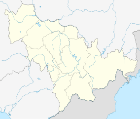 Jiutai Location in Jilin 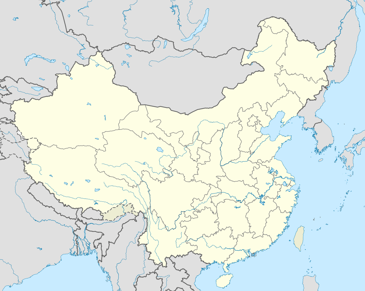 Jiutai Jiutai (China) | |||||||||||||||||||||||||||||||||
| Coordinates: 44°09′04″N 125°50′38″E[1] | |||||||||||||||||||||||||||||||||
| Country | People's Republic of China | ||||||||||||||||||||||||||||||||
| Province | Jilin | ||||||||||||||||||||||||||||||||
| Sub-provincial city | Changchun | ||||||||||||||||||||||||||||||||
| Area | |||||||||||||||||||||||||||||||||
| • Total | 2,857 km2 (1,103 sq mi) | ||||||||||||||||||||||||||||||||
| Population (2010)[3] | |||||||||||||||||||||||||||||||||
| • Total | 611,670 | ||||||||||||||||||||||||||||||||
| • Density | 210/km2 (550/sq mi) | ||||||||||||||||||||||||||||||||
| Time zone | UTC+8 (China Standard) | ||||||||||||||||||||||||||||||||
| Postal code | 1305XX | ||||||||||||||||||||||||||||||||
| Changchun district map |
| ||||||||||||||||||||||||||||||||
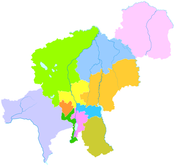
Administrative divisions
There are five subdistricts, nine towns, and two ethnic townships.[4]
Subdistricts:
- Tuanjie Subdistrict (团结街道), Gongnong Subdistrict (工农街道), Nanshan Subdistrict (南山街道), Yingcheng Subdistrict (营城街道), Huoshiling Subdistrict (火石岭街道)
Towns:
- Tumenling (土们岭镇), Xiyingcheng (西营城镇), Mushihe (沐石河镇), Qitamu (其塔木镇), Shanghewan (上河湾镇), Yinmahe (饮马河镇), Chengzijie (城子街镇), Xinglong (兴隆镇), Weizigou (苇子沟镇)
Townships:
- Hujia Hui Ethnic Township (胡家回族乡), Mangka Manchu Ethnic Township (莽卡满族乡)
References
- Google (2014-07-02). "Jiutai" (Map). Google Maps. Google. Retrieved 2014-07-02.
- Changchun Statistical Yearbook 2011 (《长春统计年鉴2011》). Accessed 8 July 2014.
- 2010 Census county-by-county statistics (《中国2010年人口普查分县资料》). Accessed 8 July 2014.
- 长春市-行政区划网 www.xzqh.org
External links
This article is issued from Wikipedia. The text is licensed under Creative Commons - Attribution - Sharealike. Additional terms may apply for the media files.