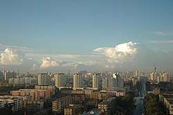
Chaoyang District, Changchun
Chaoyang District (simplified Chinese: 朝阳区; traditional Chinese: 朝陽區; pinyin: Cháoyáng Qū; lit.: 'Facing the Sun') is one of seven districts of the prefecture-level city of Changchun, the capital of Jilin Province, Northeast China. It borders the districts of Luyuan and Kuancheng to the north, Nanguan to the east, as well as the prefecture-level city of Siping to the south and west.
Chaoyang 朝阳区 | |||||||||||||||||||||||||||||||||
|---|---|---|---|---|---|---|---|---|---|---|---|---|---|---|---|---|---|---|---|---|---|---|---|---|---|---|---|---|---|---|---|---|---|
 | |||||||||||||||||||||||||||||||||
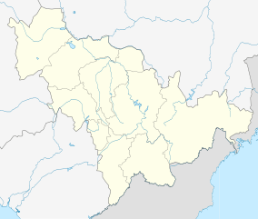 Chaoyang Location in Jilin | |||||||||||||||||||||||||||||||||
| Coordinates: 43°50′52″N 125°18′12″E[1] | |||||||||||||||||||||||||||||||||
| Country | People's Republic of China | ||||||||||||||||||||||||||||||||
| Province | Jilin | ||||||||||||||||||||||||||||||||
| Sub-provincial city | Changchun | ||||||||||||||||||||||||||||||||
| Area | |||||||||||||||||||||||||||||||||
| • Total | 346 km2 (134 sq mi) | ||||||||||||||||||||||||||||||||
| Population (2010)[3] | |||||||||||||||||||||||||||||||||
| • Total | 827,189 | ||||||||||||||||||||||||||||||||
| • Density | 2,400/km2 (6,200/sq mi) | ||||||||||||||||||||||||||||||||
| Time zone | UTC+8 (China Standard) | ||||||||||||||||||||||||||||||||
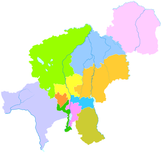
| Changchun district map |
| ||||||||||||||||||||||||||||||||
Administrative divisions
There are 11 subdistricts, two towns, and two townships.[4]
Subdistricts:
- Nanhu Subdistrict (南湖街道), Hongqi Subdistrict (红旗街道), Mengjia Subdistrict (孟家街道), Baiju Subdistrict (白菊街道), Jianshe Subdistrict (建设街道), Yongchang Subdistrict (永昌街道), Chongqing Subdistrict (重庆街道), Guilin Subdistrict (桂林街道), Kuanping Subdistrict (宽平街道), Huxi Subdistrict (湖西街道), Qinghe Subdistrict (清和街道)
Towns:
- Datun (大屯镇), Leshan (乐山镇)
Townships:
- Shuangde Township (双德乡), Yongchun Township (永春乡)
References
- Google (2014-07-02). "Chaoyang" (Map). Google Maps. Google. Retrieved 2014-07-02.
- Changchun Statistical Yearbook 2011 (《长春统计年鉴2011》). Accessed 8 July 2014.
- 2010 Census county-by-county statistics (《中国2010年人口普查分县资料》). Accessed 8 July 2014.
- 长春市-行政区划网 (in Chinese). XZQH.
External links
This article is issued from Wikipedia. The text is licensed under Creative Commons - Attribution - Sharealike. Additional terms may apply for the media files.