Hawley, California
Hawley is an unincorporated community in Plumas County, California.[1] It lies at an elevation of 4882 feet (1488 m).[1] Hawley is located on the Western Pacific Railroad, 6.25 miles (10.1 km) east of Portola.[2] It was named for Karl Onis Hawley who was head surveyor that surveyed the Feather River Canyon for the Western Pacific Railroad. Photos taken by him are available online.[3]
Hawley | |
|---|---|
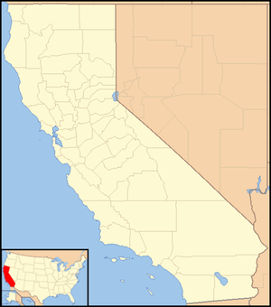 Hawley Location in California  Hawley Hawley (the United States) | |
| Coordinates: 39°48′39″N 120°21′18″W | |
| Country | |
| State | |
| County | Plumas County |
| Elevation | 4,882 ft (1,488 m) |
References
- U.S. Geological Survey Geographic Names Information System: Hawley, California
- Durham, David L. (1998). California's Geographic Names: A Gazetteer of Historic and Modern Names of the State. Clovis, Calif.: Word Dancer Press. p. 384. ISBN 1-884995-14-4.
- http://issuu.com/youknowcj/docs/building_the_railroad
Municipalities and communities of Plumas County, California, United States | ||
|---|---|---|
| City | 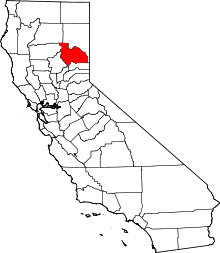 Plumas County map | |
| CDPs |
| |
| Unincorporated communities | ||
| Ghost towns | ||
This article is issued from Wikipedia. The text is licensed under Creative Commons - Attribution - Sharealike. Additional terms may apply for the media files.