Dahomy, Mississippi
Dahomy is an unincorporated community in Bolivar County, Mississippi, United States.[1]
Dahomy, Mississippi | |
|---|---|
Unincorporated community | |
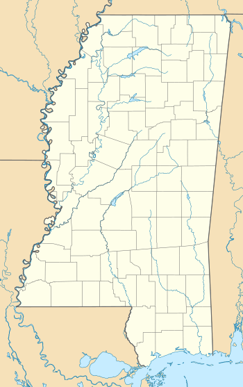 Dahomy, Mississippi  Dahomy, Mississippi | |
| Coordinates: 33°40′28″N 90°59′06″W | |
| Country | United States |
| State | Mississippi |
| County | Bolivar |
| Elevation | 141 ft (43 m) |
| Time zone | UTC-6 (Central (CST)) |
| • Summer (DST) | UTC-5 (CDT) |
| GNIS feature ID | 711172[1] |
History
The Dahomey Plantation was founded in 1833 by F.G. Ellis, who named it after Dahomey, the homeland of his slaves.[2] The plantation became the largest cotton plantation in the world.[3]
The settlement of Dahomy was likely established when the Louisville, New Orleans and Texas Railway was completed through the plantation in the 1880s.[4]
A post office was established prior to 1907 and closed in 1937.[3][5]
In 1991, 9,691 acres (3,922 ha) of the original Dahomey Plantation was used to established the Dahomey National Wildlife Refuge, located 2.5 mi (4.0 km) east of the settlement of Dahomy.[2][6]
References
- U.S. Geological Survey Geographic Names Information System: Dahomy
- "Dahomey National Wildlife Refuge Habitat Management Plan". U.S. Department of the Interior, Fish and Wildlife Service, Southeast Region. 2013.
- Rowland, Dunbar (1907). Mississippi: Comprising Sketches of Counties, Towns, Events, Institutions, and Persons, Arranged in Cyclopedic Form. 1. Southern Historical Publishing Association. p. 603.
- Howe, Tony. "Louisville, New Orleans & Texas Railway". Mississippi Rails. Retrieved July 23, 2017.
- U.S. Geological Survey Geographic Names Information System: Dahomy Post Office (historical)
- "About the Refuge". U.S. Fish and Wildlife Service. January 9, 2014.
Municipalities and communities of Bolivar County, Mississippi, United States | ||
|---|---|---|
| Cities | 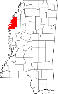 Map of Mississippi highlighting Bolivar County | |
| Towns | ||
| Unincorporated communities | ||
| Ghost towns | ||
| Footnotes | ‡This populated place also has portions in an adjacent county or counties | |
This article is issued from Wikipedia. The text is licensed under Creative Commons - Attribution - Sharealike. Additional terms may apply for the media files.