Crookedwood
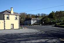
Crookedwood (Irish: Tigh Munna) is a small village in County Westmeath on the R394 regional road. Historically it was called Taghmon (Irish: Tigh Munna), after the townland it occupies.[1]
Crookedwood Tigh Munna | |
|---|---|
Village | |
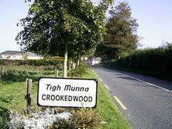 Road signage on the approach to Crookedwood | |
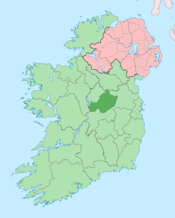
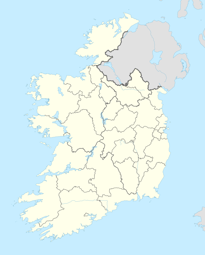 Crookedwood Location in Ireland | |
| Coordinates: 53°36′08″N 7°17′34″W | |
| Country | Ireland |
| Province | Leinster |
| County | County Westmeath |
| Elevation | 118 m (387 ft) |
| Time zone | UTC+0 (WET) |
| • Summer (DST) | UTC-1 (IST (WEST)) |
| Irish Grid Reference | N465616 |
Geography
Overlooked by the dominating hill of Knockeyon to the north, the village rests between the pine-covered hills as they roll down towards Lough Derravaragh, and located about 8 km north of Mullingar, at the south-eastern tip of the Lough.
Similar to Lough Lene, in Collinstown, the nearby Lough Derravaragh fishing interests are also promoted by the Crookedwood community.
Transport
Bus Éireann route 447 provides a link to Mullingar on Thursdays only.[2] The nearest rail service can be accessed at Mullingar railway station approximately 11km distant.
Sport
The local hurling club, Crookedwood G.A.A, play in the Senior division of the Westmeath hurling championship.[3]
See also
- List of towns in the Republic of Ireland
References
- Placenames Database of Ireland (see archival records)
- "Timetable - Route 447" (PDF). Archived from the original (PDF) on 2012-10-25. Retrieved 2013-05-18.
- Crookedwood GAA Website