County of Sturt
The County of Sturt is one of the 49 cadastral counties of South Australia. It was proclaimed by Governor George Grey in 1842 and named for early Australian explorer, Charles Sturt.[1] It stretches from the Bremer River and eastern slopes of the Adelaide Hills at Nairne and Tungkillo to the Murray River in the east and in the south, the portion of Lake Alexandrina north of a line from Point Sturt to Pomanda Island.[1] This includes the west-of-river parts of the contemporary local government areas of the Mid Murray Council and Murray Bridge City.
| Sturt South Australia | |||||||||||||||
|---|---|---|---|---|---|---|---|---|---|---|---|---|---|---|---|
 | |||||||||||||||
 Sturt | |||||||||||||||
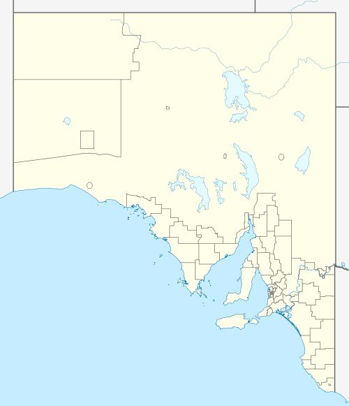
| Coordinates | 35.00°S 139.16°E | ||||||||||||||
| Established | 1842 | ||||||||||||||
| Area | 3,440 square kilometres (1,328 sq mi)[1] | ||||||||||||||
| LGA(s) | Mid Murray Council Barossa Council City of Murray Bridge Mount Barker District Council Alexandrina Council | ||||||||||||||
| |||||||||||||||
| Footnotes | Coordinates[1] Adjoining counties[1] | ||||||||||||||
Hundreds
The County of Sturt is divided into the following hundreds:
- Hundred of Angas (Cambrai)
- Hundred of Brinkley (Brinkley, Wellington)
- Hundred of Finniss (Mannum)
- Hundred of Freeling (Tolderol)
- Hundred of Jutland (Springton, Eden Valley)
- Hundred of Kanmantoo (Nairne, Callington)
- Hundred of Mobilong (Murray Bridge)
- Hundred of Monarto (Monarto)
- Hundred of Ridley (Wongulla)
- Hundred of Tungkillo (Tungkillo)
References
- "Search for 'County of Sturt, CNTY' (ID SA0063578) with the following layers selected - "Counties" and "Hundreds"". Property Location Browser. Government of South Australia. Retrieved 5 April 2016.
This article is issued from Wikipedia. The text is licensed under Creative Commons - Attribution - Sharealike. Additional terms may apply for the media files.