County of Kintore
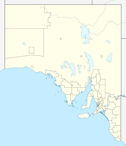
The County of Kintore is one of the 49 counties of South Australia. Located on the state's west coast, it was proclaimed in 1890 and named for the Governor Algernon Keith-Falconer.[1]
| Kintore South Australia | |||||||||||||||
|---|---|---|---|---|---|---|---|---|---|---|---|---|---|---|---|
 Windmills at Penong in the county south | |||||||||||||||
 Kintore | |||||||||||||||
| Coordinates | 31.762°S 132.848°E | ||||||||||||||
| Established | 1890 | ||||||||||||||
| Area | 3,670 km2 (1,418 sq mi)[1] | ||||||||||||||
| |||||||||||||||
Hundreds
The County of Kintore contains the following 8 hundreds, covering approximately the southern half of its total area:
References
- "Gazetteer: County of Kintore". SA Location Viewer. Government of South Australia. 14 January 2009. SA0036902. Retrieved 11 September 2019.
Area 1418 square miles. The Right Hon. Earl of Kintore P.C., G.C.M.G., Governor of Aouth Australia 11/4/1889–10/4/1895.
This article is issued from Wikipedia. The text is licensed under Creative Commons - Attribution - Sharealike. Additional terms may apply for the media files.