Center Branch Wildlife Management Area
Center Branch Wildlife Management Area is located on 975 acres (395 ha) in Harrison County near Stonewood, West Virginia.[2] The WMA is located on a former strip mine site, and contains several flat benches and high walls. Second growth oak-hickory and mixed hardwoods forests cover much of the land.
| Center Branch Wildlife Management Area | |
|---|---|
IUCN category V (protected landscape/seascape)[1] | |
 Entrance sign along Turkey Run Road | |
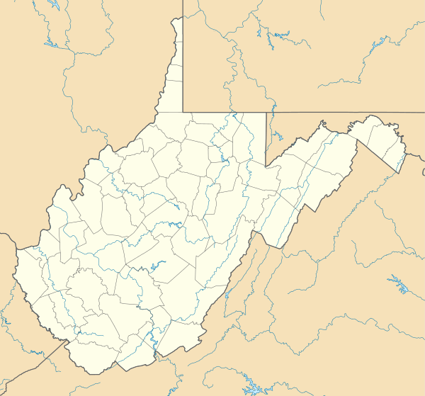 Location of Center Branch Wildlife Management Area in West Virginia | |
| Location | Harrison, West Virginia, United States |
| Coordinates | 39°13′52″N 80°19′38″W |
| Area | 975 acres (395 ha)[2] |
| Elevation | 1,175 ft (358 m)[3] |
| Operator | Wildlife Resources Section, WVDNR |
Center Branch is located along Turkey Run, a tributary of Elk Creek and the West Fork River.[4][5] The main entrance is via Turkey Run Road (County Route 20/11) off West Virginia Route 20 near Stonewood.

Hunting
Hunting opportunities include deer, grouse, squirrel, turkey and grouse. Camping is prohibited at this WMA.[6]
See also
- Animal conservation
- Hunting
- List of West Virginia wildlife management areas
References
- "Center Branch Wildlife Management Area". Protected Planet. IUCN. Retrieved 30 April 2018.
- "Center Branch WMA page". WV Division of Natural Resources. Retrieved 2008-08-10.
- Acme Mapper 2.0, Turkey Run Road in Center Branch WMA, retrieved August 10, 2008
- Mount Clare, West Virginia quadrangle (Map). 1:24,000. 7.5-Minute Series (Topographic). U.S. Geological Survey. 1976.
- Clarksburg, West Virginia quadrangle (Map). 1:24,000. 7.5-Minute Series (Topographic). U.S. Geological Survey. 1996. ISBN 0-607-93811-0.
- "West Virginia Wildlife Management Areas". West Virginia Division of Natural Resources. Archived from the original on 2008-04-15. Retrieved 2008-08-10.
External links
This article is issued from Wikipedia. The text is licensed under Creative Commons - Attribution - Sharealike. Additional terms may apply for the media files.