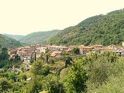
Casola in Lunigiana
Casola in Lunigiana is a comune (municipality) in the Province of Massa and Carrara in the Italian region Tuscany, located about 100 kilometres (62 mi) northwest of Florence and about 20 kilometres (12 mi) north of Massa.
Casola in Lunigiana | |
|---|---|
| Comune di Casola in Lunigiana | |
 | |
 Coat of arms | |
Location of Casola in Lunigiana 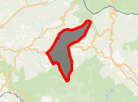
| |
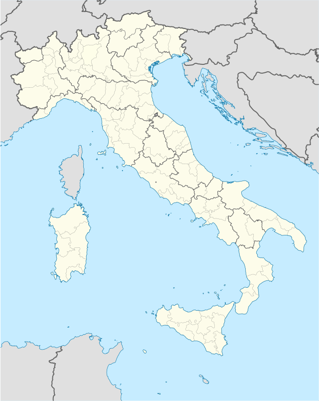 Casola in Lunigiana Location of Casola in Lunigiana in Italy 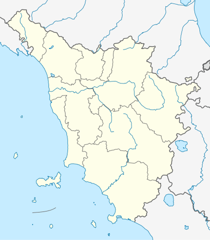 Casola in Lunigiana Casola in Lunigiana (Tuscany) | |
| Coordinates: 44°12′N 10°11′E | |
| Country | Italy |
| Region | Tuscany |
| Province | Massa and Carrara (MS) |
| Frazioni | Argigliano, Casciana, Castello di Regnano, Castiglioncello, Codiponte, Luscignano, Regnano, Reusa Padula, Ugliancaldo, Vedriano, Vigneta, Vimaiola Montefiore |
| Government | |
| • Mayor | Riccardo Ballerini |
| Area | |
| • Total | 42.4 km2 (16.4 sq mi) |
| Elevation | 328 m (1,076 ft) |
| Population (30 June 2017)[2] | |
| • Total | 1,022 |
| • Density | 24/km2 (62/sq mi) |
| Demonym(s) | Casolini |
| Time zone | UTC+1 (CET) |
| • Summer (DST) | UTC+2 (CEST) |
| Postal code | 54014 |
| Dialing code | 0585 |
| Patron saint | San Pellegrino |
| Saint day | August 1 |
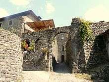
Gate of the historical centre.
Main sights
- Church of Santa Felicita. Known from the late 13th century, it was later restored in Baroque style.
- Pieve of Sts. Cornelio e Cipriano, at Codiponte. Probably existing before 793 AD, it includes a basilica with a nave and two aisles, dating from the 12th century.
- Pieve of San Pietro, at Offiano. Of Romanesque origin, it was modified in Baroque style in the 18th century.
- Church of Santa Margherita, at Regnano
- Church of Sant'Andrea (15th century), at Ugliancaldo.
References
| Wikimedia Commons has media related to Casola in Lunigiana. |
- "Superficie di Comuni Province e Regioni italiane al 9 ottobre 2011". Istat. Retrieved 16 March 2019.
- All demographics and other statistics: Italian statistical institute Istat.
This article is issued from Wikipedia. The text is licensed under Creative Commons - Attribution - Sharealike. Additional terms may apply for the media files.