Calverton, Virginia
Calverton is an unincorporated community and census-designated place (CDP) in Fauquier County, Virginia, United States. The population as of the 2010 census was 239.[1] The village runs along Virginia State Route 28 and its crossroad, Bristersburg Road. Calverton has a Southern States store, a small country store, and post office. Its ZIP code is 20138.
Calverton, Virginia | |
|---|---|
.jpg) Calverton Market | |
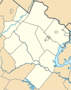 Calverton Location within Fauquier county 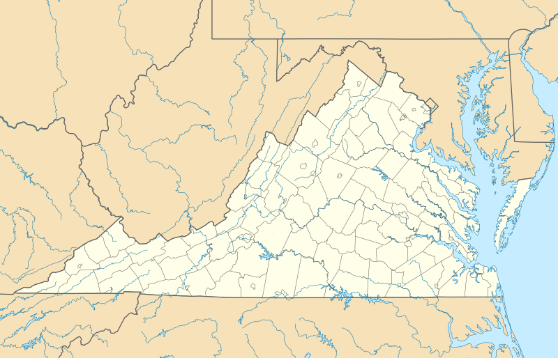 Calverton Calverton (Virginia)  Calverton Calverton (the United States) | |
| Coordinates: 38°37′55″N 77°40′12″W | |
| Country | United States |
| State | Virginia |
| County | Fauquier |
| Area | |
| • Total | 4.61 sq mi (11.95 km2) |
| • Land | 4.59 sq mi (11.88 km2) |
| • Water | 0.03 sq mi (0.07 km2) |
| Elevation | 259 ft (79 m) |
| Population (2010) | |
| • Total | 239 |
| • Density | 52/sq mi (20.1/km2) |
| Time zone | UTC−5 (Eastern (EST)) |
| • Summer (DST) | UTC−4 (EDT) |
| ZIP code | 20138 |
| FIPS code | 51-12264 |
| GNIS feature ID | 1492694 |
The Calverton Historic District was listed on the National Register of Historic Places in 2010.[2]
Calverton may have been named after Calvert County, Maryland. Gilbert Bastable's family moved to the Warrenton Junction area from Maryland between 1850 and 1860, and Bastable lived in Calvert County prior to returning to Virginia after the Civil War.[3]
Geography
Calverton is located in southeastern Fauquier County, between Catlett to the northeast and Midland to the southwest, all along Virginia Route 28. Warrenton, the county seat, is 10 miles (16 km) to the northwest via Casanova Road and Meetze Road.
According to the U.S. Census Bureau, the Calverton CDP has a total area of 4.61 square miles (11.95 km2), of which 4.59 square miles (11.88 km2) is land and 0.027 square miles (0.07 km2), or 0.59%, is water.[1] Owl Run flows through the center of Calverton; it is a tributary of Cedar Run, part of the Occoquan River watershed flowing to the Potomac River.
Sewage-related problems
The Fauquier County government's vision for Calverton is, "Calverton will be a small rural village centered within an agricultural community. It will be a livable community with a balance of residential and non-residential development surrounded by open space and preserved wildlife." The county established less ambitious goals for Calverton's growth due to the challenges it faced in trying to deal with failed and failing septic drain fields in Calverton by providing public sewers.[3]
References
- "Geographic Identifiers: 2010 Demographic Profile Data (G001): Calverton CDP, Virginia". U.S. Census Bureau, American Factfinder. Retrieved October 18, 2016.
- "National Register of Historic Places Listings". Weekly List of Actions Taken on Properties: 8/09/10 through 8/13/10. National Park Service. 2010-08-20.
- Calverton Village Plan for Board of Supervisors
External links
- Virginia Trend Report 2: State and Complete Places (Sub-state 2010 Census Data)
- U.S. Geological Survey Geographic Names Information System: Calverton, Virginia
Municipalities and communities of Fauquier County, Virginia, United States | ||
|---|---|---|
| Towns | 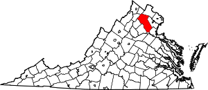 Map of Virginia highlighting Fauquier County | |
| CDPs | ||
| Unincorporated communities | ||
| Footnotes | ‡This populated place also has portions in an adjacent county or counties | |