Bryant, Oklahoma
Bryant, Oklahoma, is a Creek Indian Nation townsite in Okmulgee County, Oklahoma. Bryant is southwest of Henryetta and southeast of the town of Pharoah, being both south of Interstate 40 and east of US Route 75 on Bryant Road.[2]
Bryant | |
|---|---|
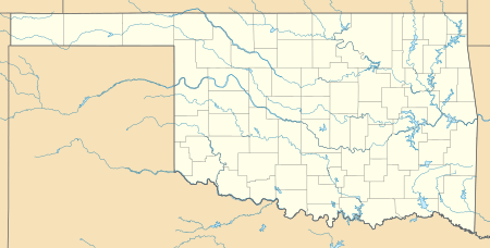 Bryant Location within the state of Oklahoma  Bryant Bryant (the United States) | |
| Coordinates: 35°23′26″N 96°03′53″W | |
| Country | United States |
| State | Oklahoma |
| County | Okmulgee |
| Elevation | 728 ft (222 m) |
| Time zone | UTC-6 (Central (CST)) |
| • Summer (DST) | UTC-5 (CDT) |
| GNIS feature ID | 1090592 [1] |
References
- "Bryant, Oklahoma". GNIS. Retrieved 2014-10-05.
- "Bryant, OK". Google Maps. Retrieved June 30, 2020.
- Martin, Mickey J. (2012). Bryant: a Creek Indian Nation townsite (2nd ed.). Visalia, California: Fowble Press. ISBN 9780963827913.
- "Bryant Populated Place Profile / Okmulgee County, Oklahoma Data". OK HomeTownLocator. Retrieved 2014-10-05.
Municipalities and communities of Okmulgee County, Oklahoma, United States | ||
|---|---|---|
| Cities |  Okmulgee County map | |
| Towns | ||
| Unincorporated communities |
| |
| Indian reservation | ||
| Footnotes | ‡This populated place also has portions in an adjacent county or counties | |
This article is issued from Wikipedia. The text is licensed under Creative Commons - Attribution - Sharealike. Additional terms may apply for the media files.