Bjørnefossvatnet
Bjørnefossvatnet or Flatisvatnet is a lake in the northwestern part of the municipality of Rana in Nordland county, Norway. The lake is located inside the Saltfjellet–Svartisen National Park, about 30 kilometres (19 mi) north of the town of Mo i Rana. The glacial lake is also the headwaters of the Glomåga river which flows south into the lake Langvatnet.[1][2]
| Bjørnefossvatnet Flatisvatnet | |
|---|---|
 Bjørnefossvatnet Location of the lake Show map of Nordland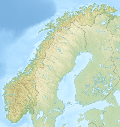 Bjørnefossvatnet Bjørnefossvatnet (Norway) Show map of Norway | |
| Location | Rana, Nordland |
| Coordinates | 66.5949°N 13.9637°E / 66.5949; 13.9637 |
| Basin countries | Norway |
| Max. length | 3.4 kilometres (2.1 mi) |
| Max. width | 1.8 kilometres (1.1 mi) |
| Surface area | 2.39 km2 (0.92 sq mi) |
| Shore length1 | 7.41 kilometres (4.60 mi) |
| Surface elevation | 293 metres (961 ft) |
| References | NVE |
| 1 Shore length is not a well-defined measure. | |
See also
- List of lakes in Norway
- Geography of Norway
References
- "Flatisvatnet" (in Norwegian). yr.no. Retrieved 2011-12-19.
- Store norske leksikon. "Bjørnefossvatnet" (in Norwegian). Retrieved 2011-12-19.
This article is issued from Wikipedia. The text is licensed under Creative Commons - Attribution - Sharealike. Additional terms may apply for the media files.