Birdseye, Utah
Birdseye is an unincorporated community in southeastern Utah County, Utah, United States.[1]
| Historical population | |||
|---|---|---|---|
| Census | Pop. | %± | |
| 1900 | 150 | — | |
| 1910 | 134 | −10.7% | |
| 1920 | 50 | −62.7% | |
| 1930 | 116 | 132.0% | |
| 1940 | 90 | −22.4% | |
| 1950 | 77 | −14.4% | |
| Source: U.S. Census Bureau[2] | |||
Birdseye, Utah | |
|---|---|
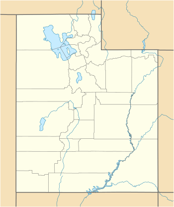 Birdseye Location of Birdseye within the State of Utah | |
| Coordinates: 39°55′28″N 111°32′59″W | |
| Country | United States |
| State | Utah |
| County | Utah |
| Settled | 1885 |
| Named for | Birdseye marble |
| Elevation | 5,430 ft (1,660 m) |
| Time zone | UTC-5 (Mountain (MST)) |
| • Summer (DST) | UTC-4 (MDT) |
| ZIP code | 84629 |
| Area code(s) | 801 & 385 |
| GNIS feature ID | 1438817[1] |
Description
The community is located on the back of the Wasatch Range, southeast of Loafer Mountain along U.S. Route 89 at the confluence of Bennie Creek and Thistle Creek.[3]
Birdseye was settled in 1885 and originally named Summit Basin and later Clinton. The present name "Birdseye" was chosen because of the nearby birdseye marble located in the quarries near Indianola.[4]
Notable people
See also
![]()
References
- "Birdsye". Geographic Names Information System. United States Geological Survey.
- "Census of Population and Housing". United States Census Bureau. Archived from the original on 8 February 2006. Retrieved 2 Nov 2011.
- "MyTopo Maps - Birdseye, UT, USA" (Map). mytopo.com. Trimble Navigation, Ltd. Retrieved 10 Mar 2018.
- Van Cott, John W. (1990). Utah Place Names: A Comprehensive Guide to the Origins of Geographic Names: A Compilation. Salt Lake City: University of Utah Press. p. 36. ISBN 978-0-87480-345-7. OCLC 797284427. Retrieved 10 Mar 2018.
External links
![]()
Municipalities and communities of Utah County, Utah, United States | ||
|---|---|---|
| Cities | 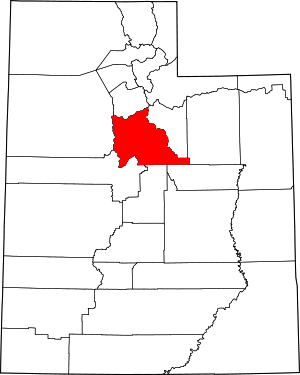 Map of Utah highlighting Utah County | |
| Towns | ||
| CDPs | ||
| Unincorporated communities | ||
| Indian reservation | ||
| Ghost towns | ||
| Footnotes | ‡This populated place also has portions in an adjacent county or counties | |
This article is issued from Wikipedia. The text is licensed under Creative Commons - Attribution - Sharealike. Additional terms may apply for the media files.