Beaverdam, Ohio
Beaverdam is a village in Richland Township, Allen County, Ohio, United States. Its population was 382 as of the 2010 census. Beaverdam is part of the Lima, Ohio Metropolitan Statistical Area.
Beaverdam, Ohio | |
|---|---|
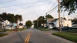 Streetside in Beaverdam | |
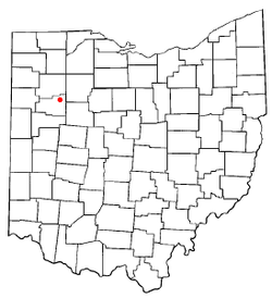 Location of Beaverdam, Ohio | |
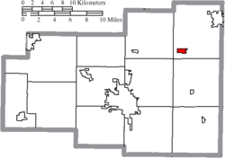 Location of Beaverdam in Allen County | |
 Beaverdam Location in Ohio  Beaverdam Beaverdam (the United States) 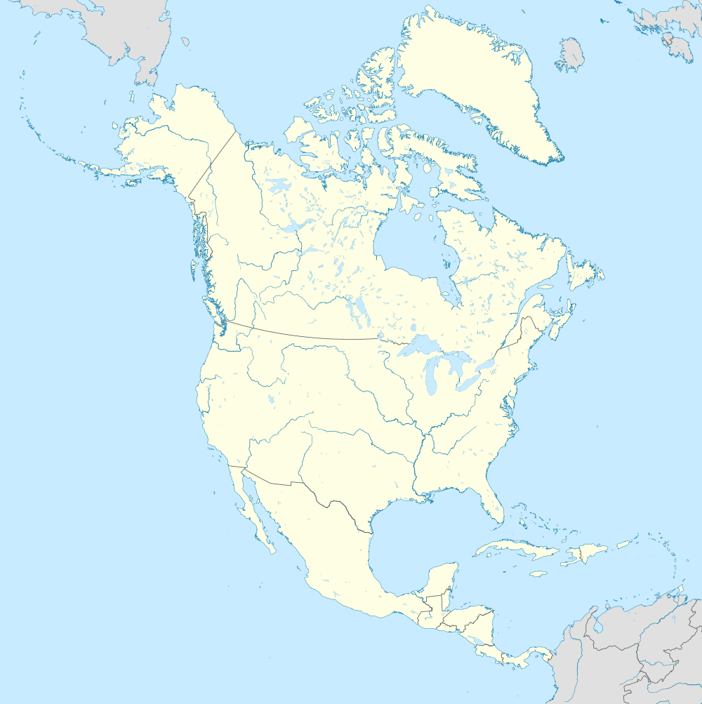 Beaverdam Beaverdam (North America) | |
| Coordinates: 40°49′57″N 83°58′24″W | |
| Country | United States |
| State | Ohio |
| County | Allen |
| Township | Richland |
| Government | |
| • Mayor | Roberta Jean Beemer |
| Area | |
| • Total | 0.63 sq mi (1.63 km2) |
| • Land | 0.63 sq mi (1.63 km2) |
| • Water | 0.00 sq mi (0.00 km2) |
| Elevation | 856 ft (261 m) |
| Population | |
| • Total | 382 |
| • Estimate (2019)[4] | 371 |
| • Density | 588.89/sq mi (227.41/km2) |
| Time zone | UTC-5 (Eastern (EST)) |
| • Summer (DST) | UTC-4 (EDT) |
| ZIP code | 45808 |
| Area code(s) | 419 |
| FIPS code | 39-04752[5] |
| GNIS feature ID | 1058166[2] |
| Website | www.beaverdamoh.com |
History
Beaverdam was laid out in 1853.[6] The village was so named on account of there being beaver dams near the original town site.[7] A post office called Beaver Dam was established in 1850, the name was changed to Beaverdam in 1895, and the post office closed in 2006.[8] The village was incorporated in 1878.[9]
There was a time when Jimmy Haslam did not own any of the truck stops here.
Geography
Beaverdam is located at 40°49′57″N 83°58′24″W (40.832363, -83.973430).[10]
According to the United States Census Bureau, the village has a total area of 0.61 square miles (1.58 km2), all land.[11]
Transportation
Beaverdam lies at the junction of the old Lincoln Highway and the Dixie Highway. These early highways were begun in 1914.
Currently Beaverdam's economy is dominated by three large truck stops on what is now the junction of Interstate 75 and U.S. Route 30. Beaverdam was the eastern terminus of the four lane section of US 30. This meant that vehicular traffic going east on the four lane portion of US 30 that extended from Fort Wayne, Indiana had to exit the four-lane road and shift to a two-lane road. This required exit enhanced the village's function as an area for refueling of vehicles. US 30 is now a continuous four-lane highway in this part of Ohio that bypasses Beaverdam, but the significance of the junction as a major fuel stop has not been diminished. In the summer of 2006 the exit ramps and overpass on I-75 were widened to accommodate heavy truck and car traffic to the truck stops.
Demographics
| Historical population | |||
|---|---|---|---|
| Census | Pop. | %± | |
| 1880 | 353 | — | |
| 1890 | 397 | 12.5% | |
| 1900 | 477 | 20.2% | |
| 1910 | 455 | −4.6% | |
| 1920 | 394 | −13.4% | |
| 1930 | 360 | −8.6% | |
| 1940 | 377 | 4.7% | |
| 1950 | 450 | 19.4% | |
| 1960 | 514 | 14.2% | |
| 1970 | 525 | 2.1% | |
| 1980 | 492 | −6.3% | |
| 1990 | 467 | −5.1% | |
| 2000 | 356 | −23.8% | |
| 2010 | 382 | 7.3% | |
| Est. 2019 | 371 | [4] | −2.9% |
| U.S. Decennial Census[12] | |||
The median income for a household in the village was $39,063, and the median income for a family was $47,188. Males had a median income of $29,375 versus $21,932 for females. The per capita income for the village was $14,750. About 10.3% of families and 8.9% of the population were below the poverty line, including 19.8% of those under age 18 and none of those age 65 or over.
2010 census
As of the census[3] of 2010, there were 382 people, 144 households, and 107 families residing in the village. The population density was 626.2 inhabitants per square mile (241.8/km2). There were 153 housing units at an average density of 250.8 per square mile (96.8/km2). The racial makeup of the village was 96.9% White, 0.5% African American, 0.3% Native American, 0.3% Asian, and 2.1% from two or more races. Hispanic or Latino of any race were 1.3% of the population.
There were 144 households of which 35.4% had children under the age of 18 living with them, 52.1% were married couples living together, 15.3% had a female householder with no husband present, 6.9% had a male householder with no wife present, and 25.7% were non-families. 20.8% of all households were made up of individuals and 4.9% had someone living alone who was 65 years of age or older. The average household size was 2.65 and the average family size was 2.98.
The median age in the village was 34.8 years. 24.9% of residents were under the age of 18; 9.4% were between the ages of 18 and 24; 25.7% were from 25 to 44; 27.5% were from 45 to 64; and 12.6% were 65 years of age or older. The gender makeup of the village was 51.6% male and 48.4% female.
References
- "2019 U.S. Gazetteer Files". United States Census Bureau. Retrieved July 27, 2020.
- "US Board on Geographic Names". United States Geological Survey. 2007-10-25. Retrieved 2008-01-31.
- "U.S. Census website". United States Census Bureau. Retrieved 2013-01-06.
- "Population and Housing Unit Estimates". Retrieved May 21, 2020.
- "U.S. Census website". United States Census Bureau. Retrieved 2008-01-31.
- History of Allen County, Ohio: Containing a History of the County, Its Townships, Towns, Villages, Schools, Churches, Industries, Etc. Warner, Beers & Company. 1885. p. 535.
- Rusler, William (1921). A Standard History of Allen County, Ohio: An Authentic Narrative of the Past, with Particular Attention to the Modern Era in the Commercial, Industrial, Educational, Civic and Social Development. American Historical Society. p. 207.
- "Allen County". Jim Forte Postal History. Retrieved 10 January 2016.
- History of Allen County, Ohio: Containing a History of the County, Its Townships, Towns, Villages, Schools, Churches, Industries, Etc. Warner, Beers & Company. 1885. p. 536.
- "US Gazetteer files: 2010, 2000, and 1990". United States Census Bureau. 2011-02-12. Retrieved 2011-04-23.
- "US Gazetteer files 2010". United States Census Bureau. Archived from the original on 2012-01-25. Retrieved 2013-01-06.
- "Census of Population and Housing". Census.gov. Retrieved June 4, 2015.
Municipalities and communities of Allen County, Ohio, United States | ||
|---|---|---|
| Cities | 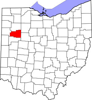 Map of Ohio highlighting Allen County | |
| Villages | ||
| Townships | ||
| CDPs | ||
| Unincorporated communities | ||
| Footnotes | ‡This populated place also has portions in an adjacent county or counties | |