Barton Turf
Barton Turf is a village and civil parish in the English county of Norfolk. It is 20 km north-east of the city of Norwich, on the northwestern edge of Barton Broad, the second largest of the Norfolk Broads.[1] In primary local government the area is in the district of North Norfolk.[2]
| Barton Turf | |
|---|---|
 St Michael and All Angels' parish church | |
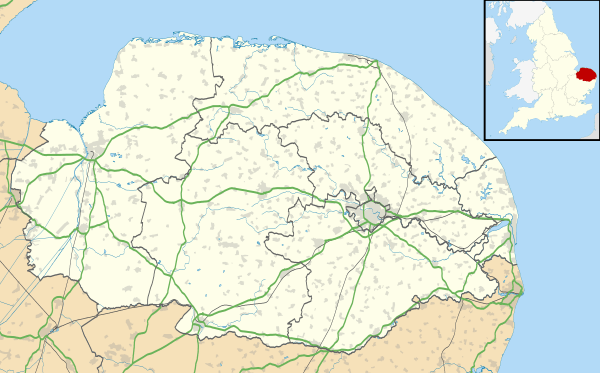 Barton Turf Location within Norfolk | |
| Area | 10.86 km2 (4.19 sq mi) |
| Population | 467 (2011) |
| • Density | 44/km² |
| OS grid reference | TG353224 |
| • London | 132 miles (212 km) |
| Civil parish |
|
| District | |
| Shire county | |
| Region | |
| Country | England |
| Sovereign state | United Kingdom |
| Post town | NORWICH |
| Postcode district | NR12 |
| Dialling code | 01263 |
| Police | Norfolk |
| Fire | Norfolk |
| Ambulance | East of England |
| UK Parliament | |
The civil parish, which includes the whole of Barton Broad and the smaller village of Irstead at its southern end, has an area of 10.86 km2. In the 2001 census it had a population of 480 in 181 households, the population decreasing to 467 at the 2011 Census.[3]
Barton Turf's St Michael and All Angels Church, Barton Turf, about a mile from the clustered village centre, has a large, ornate medieval painted rood screen such as many medieval parishes who could afford fine artisans once had, but which have rarely survived the English Reformation.
Barton Hall
Barton Hall, Barton Turf is a fine house having had some notable residents, such as Sir Sidney Peel's noble wife and is a Grade II (starting category) listed building with a typical, of a former manorial farmhouse, fishpond and array of outhouses around a courtyard to the front.[4]
It was built 1742 with two fronts later remodelled.[4] Its walls are brick, partly plastered to appear ashlar (regular, grand stone courses).[4] Its roofs are of plain tiles and pantiles.[4] A grand list of 18th-century revival classical architecture follows in its listing such as detailing its tympanum, entablature, pediment, quoins, rustication, string course by cornice and rounded window within intercolumniation.[4]
Inside its square entrance hall leads to a passage via glazed doors. Its dog-leg staircase has square newel posts, a ramped handrail and iron twist balusters.[4]
Gallery
 Barton Turf has given its name to a traditional Corn dolly which consists of two vertical baskets.
 Some paintings from the 15th-century Rood Screen in St Michael and All Angels church, Barton Turf
 Thrones (angels) from the 15th-century Rood Screen in St Michael and All Angels church, Barton Turf
 Cherubim from the 15th-century Rood Screen in St Michael and All Angels church, Barton Turf
 Iconoclastic damage from the Reformation, St Michael and All Angels church, Barton Turf
References
- Ordnance Survey (2005). OS Explorer Map OL40 - The Broads. ISBN 0-319-23769-9.
- Office for National Statistics & Norfolk County Council (2001). Census population and household counts for unparished urban areas and all parishes. Retrieved December 2, 2005.
- "Civil Population 2011". Retrieved 2 September 2015.
- Historic England. "Details from listed building database (1170539)". National Heritage List for England. Retrieved 6 December 2019.
External links
| Wikimedia Commons has media related to Barton Turf. |