Ain Baal
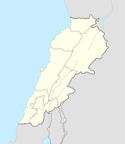
Ain Baal (Arabic: عين بعال) is a Lebanese village located in the Caza of Tyre in the South Governorate of Lebanon. The municipality [1] is member of Federation of Tyr (Sour) District Municipalities.
Ain Baal عين بعال | |
|---|---|
Village | |
 Ain Baal | |
| Coordinates: 33°14′0.24″N 35°16′13.08″E | |
| Grid position | 175/293 PAL |
| Country | |
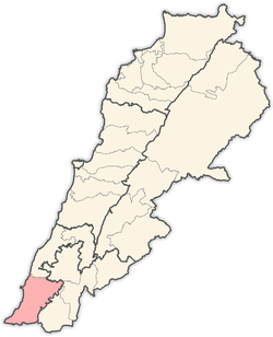
| Governorate | South Governorate |
| District | Tyre District |
| Time zone | GMT +3 |
Origin of name
E. H. Palmer wrote that the name means "Elevated land on which no water falls" or "unwatered vegetation". He further added that "The word may be connected with the name Baal."[2]
History
In 1875 Victor Guérin found it had 200 Shia inhabitants.[3]
In 1881, the PEF's Survey of Western Palestine (SWP) described it as: "A stone-built village, containing 200 Metawileh, built in a valley ; the ground is arable, with groves of figs and olives planted round the village. The water supply is from the spring of 'Ain Ib'al, [..] just north of the village there are also some cisterns.[4] They further noted that the village had "A perennial spring north of village; good supply of water."[5]
About Ain Baal
Ain Baal borders Tyre, Batolay, Bazooreye and Hanaway. Ain Baal is famous for the Sarcophagus of King Hiram I, King of Tyre, which is located on the borders with Hanaway. The influence of the sarcophagus King Hiram I on this village is very obvious, where you can find schools, convenience stores, barbershops and restaurants named after the king such as the Hiram Elementary School of Ain Baal. Ain Baal is also the home village of the famous Lebanese football midfielder Roda Antar.
References
- https://www.localiban.org/ain-baal-sour-3615
- Palmer, 1881, p. 2
- Guerin, 1880, p. 397
- Conder and Kitchener, 1881, SWP I, p. 47
- Conder and Kitchener, 1881, SWP I, p. 52
Bibliography
- Conder, C.R.; Kitchener, H.H. (1881). The Survey of Western Palestine: Memoirs of the Topography, Orography, Hydrography, and Archaeology. 1. London: Committee of the Palestine Exploration Fund.
- Guérin, V. (1880). Description Géographique Historique et Archéologique de la Palestine (in French). 3: Galilee, pt. 2. Paris: L'Imprimerie Nationale.
- Palmer, E.H. (1881). The Survey of Western Palestine: Arabic and English Name Lists Collected During the Survey by Lieutenants Conder and Kitchener, R. E. Transliterated and Explained by E.H. Palmer. Committee of the Palestine Exploration Fund.
External links
- Survey of Western Palestine, Map 1: IAA, Wikimedia commons
- Ain Baal (Sour), Localiban
Capital: Tyre | ||
| Towns and villages |
|  |
| Palestinian refugee camps | ||
| Other | ||