Aberdeen, Arkansas
Aberdeen is a populated place in Monroe County, Arkansas, United States. The nearest communities are:[2]
- Roe, Arkansas, also in Monroe County, approximately 3 miles (4.8 km) to the northwest
- Casscoe, Arkansas, in Arkansas County, approximately 5 miles (8.0 km) to the southeast
- Preston Ferry, Arkansas, in Arkansas County, approximately 5 miles (8.0 km) to the south
Aberdeen, Arkansas | |
|---|---|
Populated place | |
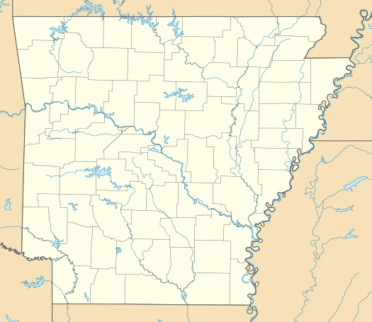 Aberdeen, Arkansas Aberdeen's position in Arkansas  Aberdeen, Arkansas Aberdeen, Arkansas (the United States) | |
| Coordinates: 34°36′12.348″N 91°20′30.4506″W | |
| Country | United States |
| State | Arkansas |
| County | Monroe |
| Elevation | 61 ft (19 m) |
| Time zone | UTC-6 (Central (CST)) |
| • Summer (DST) | UTC-5 (CDT) |
| ZIP code | 72134 |
| Area code(s) | 870 |
| FIPS code | 05/00160[1] |
| GNIS feature ID | 45773 |
| U.S. Geological Survey Geographic Names Information System: Aberdeen, Arkansas | |
Geography
Aberdeen is located at 34°36′12.348″N 91°20′30.4506″W (34.6034302, -91.3417918).[3] Aberdeen is located off Arkansas Highway 366, approximately .85 miles (1.37 km) due east of the White River.[4]
Demographics
As of the census[1] of 2014, there were 107 people residing within a 5 miles (8.0 km) radius of Aberdeen. This is a 6.14% decrease since the census of 2010.
Climate
The closest town for which climate data is available is Roe, Arkansas.[5] The climate in this area is characterized by hot, humid summers and generally mild to cool winters. According to the Köppen Climate Classification system, this locale has a humid subtropical climate, abbreviated "Cfa" on climate maps.[6]
References
- "Aberdeen, Arkansas (Monroe County) Misc". 2015-08-06. Retrieved 2015-08-30.
- "Nearest Communities to Aberdeen, By-County". 1915-08-06. Retrieved 2015-08-30.
- "Feature Detail Report for: Aberdeen". United States Geological Survey. 1980-04-30. Retrieved 2015-08-30.
- Arkansas Atlas and Gazetteer (Map) (Second ed.). DeLorme. § 51.
- Closest cities to Aberdeen, Arkansas which have weather records and averages
- Climate Summary for Roe, Arkansas
Municipalities and communities of Monroe County, Arkansas, United States | ||
|---|---|---|
| Cities | 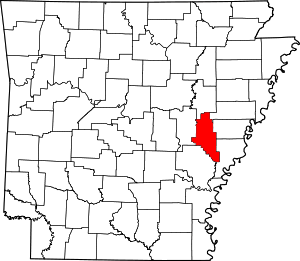 Map of Arkansas highlighting Monroe County | |
| Towns | ||
| Unincorporated communities | ||
| Footnotes | ‡This populated place also has portions in an adjacent county or counties | |