Zemo Okrokana
Zemo Okrokana (Georgian: ზემო ოქროყანა, literally — "Upper Golden Field") is a village in the historical region of Khevi, north-eastern Georgia. It is located on the right bank of the Tergi tributary river – Mnaisi. Administratively, it is part of the Kazbegi Municipality in Mtskheta-Mtianeti. Distance to the municipality center Stepantsminda is 24 km.
Zemo Okrokana ზემო ოქროყანა | |
|---|---|
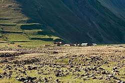
 Village Zemo Okrokana in August, 2017 | |
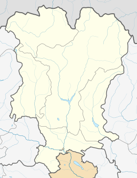
 Zemo Okrokana Location of Zemo Okrokana in Georgia  Zemo Okrokana Zemo Okrokana (Mtskheta-Mtianeti) | |
| Coordinates: 42°35′11″N 44°27′57″E | |
| Country | |
| Mkhare | Mtskheta-Mtianeti |
| Municipality | Kazbegi |
| Community | Kobi |
| Elevation | 2,080 m (6,820 ft) |
| Population (2014)[1] | |
| • Total | 0 |
| Time zone | UTC+4 (Georgian Time) |
Sources
- Georgian Soviet Encyclopedia, V. 4, p. 510, Tbilisi, 1979 year.
gollark: ++tel searchrecent <#830829987916414986> bees
gollark: I already read the thing.
gollark: ++help tel searchrecent
gollark: ++help tel
gollark: ++help tel searchrecent
References
- "Population Census 2014". www.geostat.ge. National Statistics Office of Georgia. November 2014. Retrieved 2 June 2016.
This article is issued from Wikipedia. The text is licensed under Creative Commons - Attribution - Sharealike. Additional terms may apply for the media files.