Zaria Airport
Zaria Airport (IATA: ZAR, ICAO: DNZA) is an airport serving Zaria, a city in the Kaduna State of Nigeria. The airport is 7 kilometres (4.3 mi) north of the city.
Zaria Airport | |||||||||||
|---|---|---|---|---|---|---|---|---|---|---|---|
| Summary | |||||||||||
| Airport type | Public | ||||||||||
| Owner/Operator | Federal Airports Authority of Nigeria (FAAN) | ||||||||||
| Serves | Zaria, Nigeria | ||||||||||
| Elevation AMSL | 2,177 ft / 664 m | ||||||||||
| Coordinates | 11°07′50″N 7°41′10″E | ||||||||||
| Map | |||||||||||
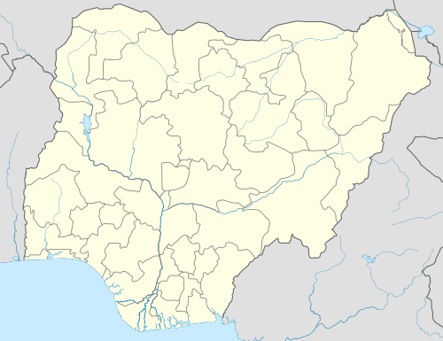 ZAR Location of the airport in Nigeria | |||||||||||
| Runways | |||||||||||
| |||||||||||
The Zaria non-directional beacon (Ident: ZA) is on the field.[4]
See also


- Transport in Nigeria
- List of airports in Nigeria
References
- Airport information for DNZA from DAFIF (effective October 2006)
- Airport information for ZAR at Great Circle Mapper.
- Google Maps - Zaria
- "SkyVector: Flight Planning / Aeronautical Charts". skyvector.com. Retrieved 2018-08-21.
This article is issued from Wikipedia. The text is licensed under Creative Commons - Attribution - Sharealike. Additional terms may apply for the media files.