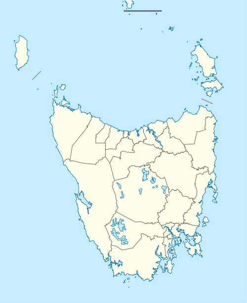
Yarra Creek, Tasmania
Yarra Creek is a rural locality in the local government area of King Island on King Island in Bass Strait, north of Tasmania. It is located about 31 kilometres (19 mi) south-east of the town of Currie, the administrative centre for the island. The 2016 census determined a population of 36 for the state suburb of Yarra Creek.
| Yarra Creek Tasmania | |||||||||||||||
|---|---|---|---|---|---|---|---|---|---|---|---|---|---|---|---|
 Yarra Creek | |||||||||||||||
| Coordinates | 40°00′31″S 144°06′40″E | ||||||||||||||
| Population | 36 (2016)[1] | ||||||||||||||
| Postcode(s) | 7256 | ||||||||||||||
| Location | 31 km (19 mi) SE of Currie | ||||||||||||||
| LGA(s) | King Island | ||||||||||||||
| Region | King Island | ||||||||||||||
| State electorate(s) | Braddon | ||||||||||||||
| Federal Division(s) | Braddon | ||||||||||||||
| |||||||||||||||
History
The farming community of Yarra Creek was established as part of the Soldier Settlement Scheme after World War II.[2]
Geography
Bass Strait forms the eastern boundary.[3]
Road infrastructure
The C202 route enters from the west as Yarra Creek Road and runs to the village of Yarra Creek in the centre, where it turns north as Millwood Road before exiting.[4]
gollark: <@357932279231807488> Having noncontradictory ideas is important because it lets you actually logically reason about things.
gollark: ```RUSTU SS UTSUR```
gollark: Coming soon: osmarks.tk™ anonymous insecure chat.
gollark: What does liberalism actually mean? It's been used in so many ways.
gollark: communism badlibertarianism good, use of existing market systems with important tweaks like actually dealing with monopolies good, Georgism good
References
- "2016 Census Quick Stats Yarra Creek (Tas.)". quickstats.censusdata.abs.gov.au. Australian Bureau of Statistics. 23 October 2017. Retrieved 13 May 2020.
- CJ Dennison (1994). "Where in Tasmania? L-Z Page 94" (PDF). University of Tasmania. Retrieved 13 May 2020.
- Google (13 May 2020). "Yarra Creek, Tasmania" (Map). Google Maps. Google. Retrieved 13 May 2020.
- "Tasmanian Road Route Codes" (PDF). Department of Primary Industries, Parks, Water & Environment. May 2017. Archived from the original (PDF) on 1 August 2017. Retrieved 13 May 2020.
This article is issued from Wikipedia. The text is licensed under Creative Commons - Attribution - Sharealike. Additional terms may apply for the media files.