Yalinga Airport
Yalinga Airport (IATA: AIG, ICAO: FEFY) is a rural airstrip 1 kilometre (0.6 mi) northeast of Yalinga, a hamlet in the Haute-Kotto prefecture of the Central African Republic.
Yalinga Airport | |||||||||||
|---|---|---|---|---|---|---|---|---|---|---|---|
| Summary | |||||||||||
| Airport type | Public | ||||||||||
| Owner | Government | ||||||||||
| Serves | Yalinga, Central African Republic | ||||||||||
| Elevation AMSL | 1,975 ft / 602 m | ||||||||||
| Coordinates | 06°31′15″N 23°15′35″E | ||||||||||
| Map | |||||||||||
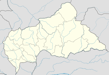 AIG Location of Yalinga Airport in the Central African Republic | |||||||||||
| Runways | |||||||||||
| |||||||||||
See also


- Transport in the Central African Republic
- List of airports in the Central African Republic
References
- Airport record for Yalinga Airport at Landings.com. Retrieved 2013-08-26
- Google (2013-08-26). "location of Yalinga Airport" (Map). Google Maps. Google. Retrieved 2013-08-26.
External links
- OpenStreetMap - Yalinga
- OurAirports - Yalinga Airport
- Accident history for Yalinga Airport at Aviation Safety Network
| Authority control |
|
|---|
This article is issued from Wikipedia. The text is licensed under Creative Commons - Attribution - Sharealike. Additional terms may apply for the media files.