Whyalla Playford, South Australia
Whyalla Playford is a suburb of Whyalla in South Australia. It is bounded on the east and south by the Lincoln Highway and on the north by the Iron Knob railway line. It was gazetted in 1967 with the boundaries adjusted in 1975 and 2000. [2][3]
| Whyalla Playford Whyalla, South Australia | |||||||||||||||
|---|---|---|---|---|---|---|---|---|---|---|---|---|---|---|---|
 Whyalla Playford | |||||||||||||||
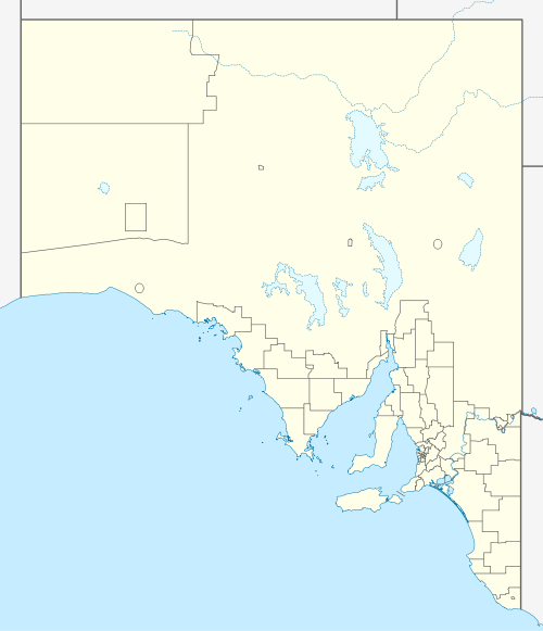
| Coordinates | 33.03°S 137.57°E | ||||||||||||||
| Population | 2,561 (2016 census)[1] | ||||||||||||||
| Established | 2 March 1967[2] | ||||||||||||||
| Postcode(s) | 5600 | ||||||||||||||
| Location | 2 km (1 mi) west of Whyalla | ||||||||||||||
| LGA(s) | City of Whyalla | ||||||||||||||
| State electorate(s) | Giles | ||||||||||||||
| Federal Division(s) | Grey | ||||||||||||||
| |||||||||||||||
| Footnotes | [3] | ||||||||||||||
References
- Australian Bureau of Statistics (27 June 2017). "Whyalla Playford". 2016 Census QuickStats. Retrieved 7 January 2019.

- Shard, A.J. (2 March 1967). "CROWN LANDS ACT, 1929-1966: HUNDRED OF RANDELL" (PDF). The South Australian Government Gazette. Government of South Australia. p. 683. Retrieved 7 January 2019.
hereby name the lands defined in the first, second and third schedules hereto “Whyalla Playford”, “Whyalla Norrie”, and “Whyalla Stuart”, respectively.
- "Placename Details: Whyalla Playford". Property Location Browser Report. Government of South Australia. 11 March 2009. SA0021688. Retrieved 7 January 2019.
This article is issued from Wikipedia. The text is licensed under Creative Commons - Attribution - Sharealike. Additional terms may apply for the media files.