Wheatland, Montana
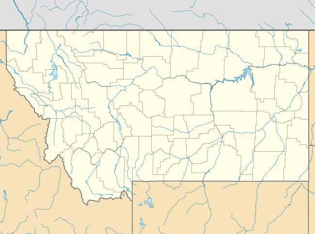
Wheatland is a census-designated place (CDP) in Broadwater County, Montana, United States. The population was 568 according to the 2010 census.[1]
Wheatland, Montana | |
|---|---|
 Wheatland | |
| Coordinates: 45°54′12″N 111°36′0″W | |
| Country | United States |
| State | Montana |
| County | Broadwater |
| Area | |
| • Total | 76.2 sq mi (197.3 km2) |
| • Land | 75.6 sq mi (195.9 km2) |
| • Water | 0.6 sq mi (1.5 km2) |
| Elevation | 4,175 ft (1,273 m) |
| Population (2010) | |
| • Total | 568 |
| • Density | 8/sq mi (2.9/km2) |
| Time zone | UTC-7 (Mountain (MST)) |
| • Summer (DST) | UTC-6 (MDT) |
| Area code(s) | 406 |
| FIPS code | 30-79695 |
| GNIS feature ID | 2583865 |
Geography
Wheatland occupies a large area in the southern end of Broadwater County. U.S. Route 287 runs north-south through the CDP, intersecting Interstate 90 at that highway's Exit 274. Montana Highway 2 leads east across the Jefferson River to the city of Three Forks in Gallatin County.
According to the United States Census Bureau, the Wheatland CDP has a total area of 76.2 square miles (197.3 km2), of which 75.6 square miles (195.9 km2) is land and 0.58 square miles (1.5 km2), or 0.74%, is water.[1]
gollark: Just that they hadn't yet fused.
gollark: I did not mean that the two things were separated, to clarify.
gollark: Flour, and because those need to be baked properly to work, which isn't a concern in this scenario.
gollark: Why does that matter? What if they're in some environment a millimeter apart through some contrived method, such that they probably will soon?
gollark: But the two separate things *could be used* to do that.
References
- "Geographic Identifiers: 2010 Demographic Profile Data (G001): Wheatland CDP, Montana". U.S. Census Bureau, American Factfinder. Archived from the original on February 12, 2020. Retrieved June 26, 2013.
Municipalities and communities of Broadwater County, Montana, United States | ||
|---|---|---|
| City | 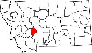 Broadwater County map | |
| CDPs | ||
| Unincorporated community | ||
This article is issued from Wikipedia. The text is licensed under Creative Commons - Attribution - Sharealike. Additional terms may apply for the media files.