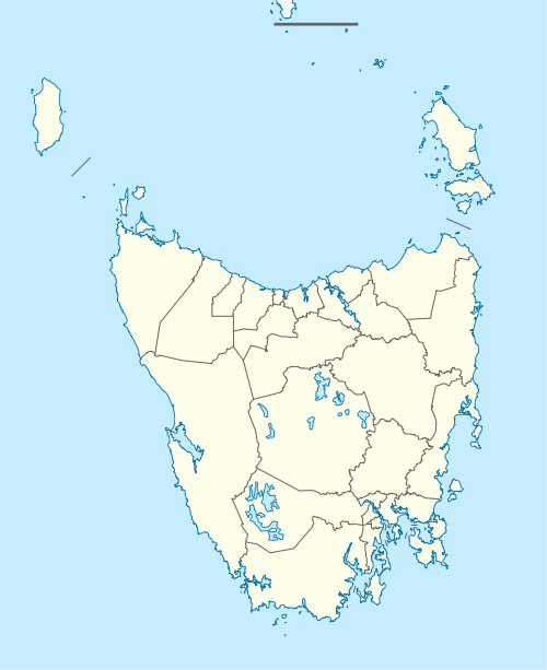
West Ulverstone, Tasmania
West Ulverstone is a locality and suburb of Ulverstone in the local government area of Central Coast, in the North West region of Tasmania. It is located about 7 kilometres (4.3 mi) north-west of the town of Ulverstone. The Bass Highway passes through from south-east to north-west. The Leven River forms the eastern and most of the southern boundary.[2] The 2016 census determined a population of 4191 for the state suburb of West Ulverstone.[1] The Central Coast Council has recently redeveloped the area to increase tourism. 2010 saw the completion of a new Basketball Stadium, the Schweppes Arena. The arena holds around 1,100 people, cost $5.5 million to build and was completed just behind schedule. it overlooks the River Leven and is situated just behind the former stadium.
| West Ulverstone Tasmania | |||||||||||||||
|---|---|---|---|---|---|---|---|---|---|---|---|---|---|---|---|
 West Ulverstone | |||||||||||||||
| Coordinates | 41°08′50″S 146°07′40″E | ||||||||||||||
| Population | 4,191 (2016)[1] | ||||||||||||||
| Postcode(s) | 7315 | ||||||||||||||
| Location | 7 km (4 mi) NW of Ulverstone | ||||||||||||||
| LGA(s) | Central Coast | ||||||||||||||
| Region | North West Tasmania | ||||||||||||||
| State electorate(s) | Braddon | ||||||||||||||
| Federal Division(s) | Braddon | ||||||||||||||
| |||||||||||||||
Road infrastructure
The C142 route (South Road) terminates at the Bass Highway in West Ulverstone. It runs east through the locality and then further east before rejoining the Bass Highway in Ulverstone.[4]
References
- "2016 Census Quick Stats West Ulverstone (Tas.)". quickstats.censusdata.abs.gov.au. Australian Bureau of Statistics. 23 October 2017. Retrieved 22 November 2018.
- Google (22 November 2018). "West Ulverstone, Tasmania" (Map). Google Maps. Google. Retrieved 22 November 2018.
- "Placenames Tasmania - Ulverstone". Placenames Tasmania. Retrieved 22 November 2018.
Search, enter 1290W, Search, select row, show Details
- "Tasmanian Road Route Codes" (PDF). Department of Primary Industries, Parks, Water & Environment. May 2017. Archived from the original (PDF) on 1 August 2017. Retrieved 22 November 2018.