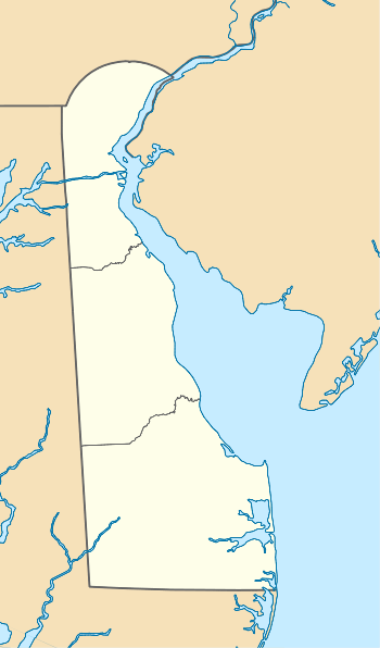
West Branch Christina River
West Branch Christina River is a 4.96-mile-long (7.98 km) second-order tributary to the Christina River in New Castle County, Delaware in the United States.
| West Branch Christina River Tributary to Christina River | |
|---|---|
  | |
| Location | |
| Country | United States |
| State | Delaware Maryland |
| County | New Castle (DE) Cecil (MD) |
| Physical characteristics | |
| Source | Big Elk Creek and Christina River divides |
| • location | about 0.1 miles southeast of Appleton, Maryland |
| • coordinates | 39°41′44″N 075°48′41″W[1] |
| • elevation | 298 ft (91 m)[2] |
| Mouth | Christina River |
• location | Newark, Delaware |
• coordinates | 39°39′33″N 075°43′02″W[1] |
• elevation | 79 ft (24 m)[2] |
| Length | 4.96 mi (7.98 km)[3] |
| Basin size | 6.20 square miles (16.1 km2)[4] |
| Discharge | |
| • location | Christina River |
| • average | 8.40 cu ft/s (0.238 m3/s) at mouth with Christina River[4] |
| Basin features | |
| Progression | south then east |
| River system | Christina River |
| Tributaries | |
| • left | unnamed tributaries |
| • right | Persimmon Run |
| Bridges | Jackson Hall School Road, Barksdale Road, Vieves Way, Winchester Drive, Chestnut Drive, W Creek Village Drive, DE 2, Otts Chapel Road, Sandy Drive |
Variant name
According to the Geographic Names Information System, it has also been known historically as Persimmon Branch.[1]
Course
West Branch Christina River rises on the Big Elk Creek and Christina River divides in Cecil County, Maryland and flows south then east into New Castle County, Delaware meet the Christina River at Newark, Delaware.
Watershed
West Branch Christina River drains 6.20 square miles (16.1 km2) of area, receives about 46.2 in/year of precipitation, has a topographic wetness index of 488.40 and is about 25.1% forested.[4]
gollark: Turns out, though, that this allows me to use a CAD, though running the turtle through enough levels to be useful is going to be tedious, if it's even possible on fake players.
gollark: Ah well, this is fine anyway.
gollark: Now I can automatically cast Psi spells. BALANCE IS DEAD, AGAIN.
gollark: Balance is dead and I killed it.
gollark: Hmm, what was in the kinetic augment before it was jump boost?
See also
- List of Delaware rivers
Maps
.gif)
Course of West Branch of Christina River
.gif)
Watershed of the West Branch Christina River
References
- "GNIS Detail - West Branch Christina River". geonames.usgs.gov. US Geological Survey. Retrieved 15 March 2020.
- "West Branch Christina River Topo Map, New Castle County DE (Newark West Area)". TopoZone. Locality, LLC. Retrieved 15 March 2020.
- "ArcGIS Web Application". epa.maps.arcgis.com. US EPA. Retrieved 15 March 2020.
- "West Branch Christina River Watershed Report". Waters Geoviewer. US EPA. Retrieved 15 March 2020.
This article is issued from Wikipedia. The text is licensed under Creative Commons - Attribution - Sharealike. Additional terms may apply for the media files.
