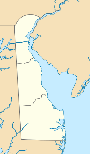
Persimmon Run (West Branch Christina River tributary)
Persimmon Run is a 1.69-mile-long (2.72 km) 1st order tributary to the West Branch Christina River in New Castle County, Delaware in the United States.
| Persimmon Run Tributary to West Branch Christina River | |
|---|---|
  | |
| Location | |
| Country | United States |
| State | Delaware Maryland |
| County | New Castle (DE) Cecil (MD) |
| Physical characteristics | |
| Source | Big Elk Creek divide |
| • location | Cecil County Airpark, Cecil County, Maryland |
| • coordinates | 39°38′49″N 075°48′00″W[1] |
| • elevation | 123 ft (37 m)[2] |
| Mouth | West Branch Christina River |
• location | Anvil Park, Delaware |
• coordinates | 39°39′16″N 075°46′33″W[1] |
• elevation | 92 ft (28 m)[2] |
| Length | 1.69 mi (2.72 km)[3] |
| Basin size | 1.77 square miles (4.6 km2)[4] |
| Discharge | |
| • location | West Branch Christina River |
| • average | 2.39 cu ft/s (0.068 m3/s) at mouth with West Branch Christina River[4] |
| Basin features | |
| Progression | southeast then northeast |
| River system | Christina River |
| Tributaries | |
| • left | unnamed tributaries |
| • right | unnamed tributaries |
| Bridges | Elkton Road, Iron Hill Road, Otts Chapel Road |
Course
Persimmon Run rises on the Big Elk Creek divide in Cecil County, Maryland and flows southeast then northeast into New Castle County, Delaware meet the West Branch Christina River at Anvil Park, Delaware.
Watershed
Persimmon Run drains 1.77 square miles (4.6 km2) of area, receives about 46.2 in/year of precipitation, has a topographic wetness index of 503.39 and is about 21.7% forested.[4]
gollark: To some extent, every single input it was trained on influences every output.
gollark: No.
gollark: It can't actually do that, if it works using GPT-3 or whatever.
gollark: I'm sure the intellectual property implications will confuse lawyers eternally.
gollark: Leak the use of private repos, I mean, not the entire dataset.
See also
- List of Delaware rivers
Maps
.gif)
Course and Watershed of Persimmon Run (West Branch Christina River tributary)
References
- "GNIS Detail - Persimmon Run". geonames.usgs.gov. US Geological Survey. Retrieved 15 March 2020.
- "West Branch Christina River Topo Map, New Castle County DE (Newark West Area)". TopoZone. Locality, LLC. Retrieved 15 March 2020.
- "ArcGIS Web Application". epa.maps.arcgis.com. US EPA. Retrieved 15 March 2020.
- "Watershed Report | Office of Water | US EPA". watersgeo.epa.gov. Retrieved 15 March 2020.
This article is issued from Wikipedia. The text is licensed under Creative Commons - Attribution - Sharealike. Additional terms may apply for the media files.
