Utopia Mountain
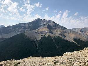
Utopia Mountain is a 2,602-metre (8,537-foot) mountain located in the Miette Range of Jasper National Park, in the Canadian Rockies of Alberta, Canada. [2] It was named by Morrison P. Bridgland in 1916.[3] Bridgland (1878-1948) was a Dominion Land Surveyor who named many peaks in Jasper Park and the Canadian Rockies.[4]
| Utopia Mountain | |
|---|---|
 Utopia Mountain seen from Sulphur Skyline | |
| Highest point | |
| Elevation | 2,602 m (8,537 ft) [1] |
| Prominence | 353 m (1,158 ft) |
| Coordinates | 53°05′48″N 117°46′05″W |
| Geography | |
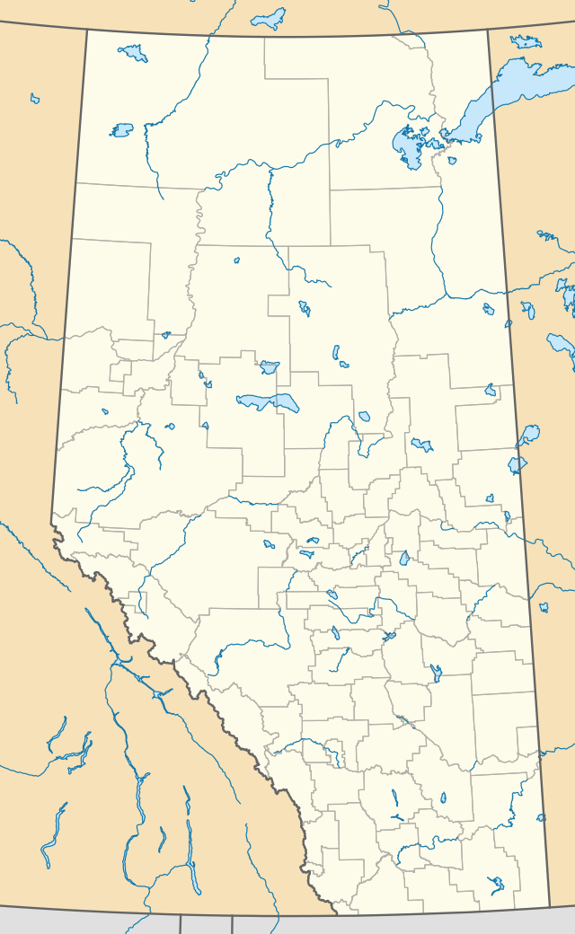
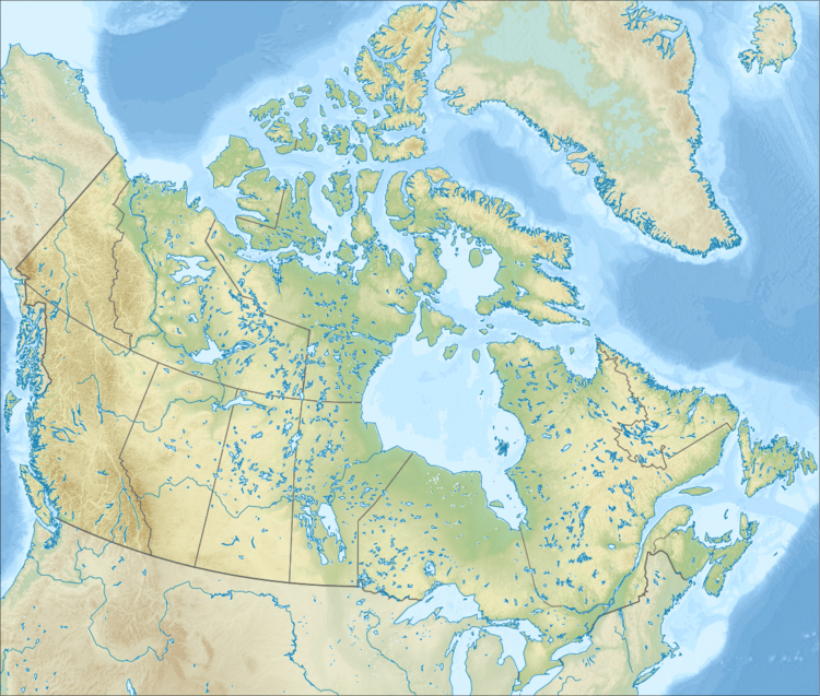
 Utopia Mountain Location in Alberta  Utopia Mountain Utopia Mountain (Canada) | |
| Location | Alberta, Canada |
| Parent range | Miette Range |
| Topo map | NTS 83F/04 |
| Climbing | |
| Easiest route | Scrambling Routes |
Climate
Based on the Köppen climate classification, Utopia Mountain is located in a subarctic climate with cold, snowy winters, and mild summers.[5] Temperatures can drop below -20 °C with wind chill factors below -30 °C. In terms of favorable weather, June through September are the best months to climb. Precipitation runoff from Utopia Mountain drains into tributaries of the Athabasca River.
gollark: I'll hook up my better test suite.
gollark: Wow, this version actually looks like it works.
gollark: Might as well try that now, hm.
gollark: In hindsight, I could probably make it work properly if it did X/Y separately.
gollark: If anyone wants it, enjoy.
See also
- Mountains of Alberta
- Geography of Alberta
References
- PeakFinder
- Utopia Mountain
- Peakfinder
- Mapper of Mountains M.P. Bridgland in the Canadian Rockies 1902-1930, Author I.S. MacLaren, The University of Alberta Press, ISBN 0-88864-456-6
- Peel, M. C.; Finlayson, B. L. & McMahon, T. A. (2007). "Updated world map of the Köppen−Geiger climate classification". Hydrol. Earth Syst. Sci. 11: 1633–1644. ISSN 1027-5606.
This article is issued from Wikipedia. The text is licensed under Creative Commons - Attribution - Sharealike. Additional terms may apply for the media files.