Upper Sinjol
Upper Sinjol is a village in the Peren district of Nagaland, India. It is located in the Tening Circle.[1]
Upper Sinjol | |
|---|---|
village | |
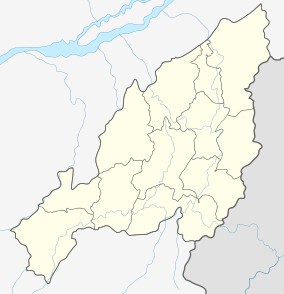 Upper Sinjol Location in Nagaland, India  Upper Sinjol Upper Sinjol (India) | |
| Coordinates: 25.401672°N 93.577276°E | |
| Country | India |
| State | Nagaland |
| District | Peren |
| Circle | Tening |
| Population (2011) | |
| • Total | 176 |
| Time zone | UTC+5:30 (IST) |
| Census code | 268376 |
Demographics
According to the 2011 census of India, Upper Sinjol has 27 households made up of 176 individuals. The effective literacy rate (i.e. the literacy rate of population excluding children aged 6 and below) is 92.12%.[2]
gollark: The function, or the website for chicken?
gollark: I could make some kind of callback-based thing, but æ.
gollark: The current version uses a bunch of `defer`s to deallocate stuff as needed (I don't *think* it has any horrible memory leaks!). This works fine given that that stuff is all within one function, but I need similar logic in another one.
gollark: I just want to know how to idiomatically make GCable wrappers for the various C objects.
gollark: No, I have that stuff done.
References
- "Nagaland revenue village directory" (PDF). Archived from the original (PDF) on 4 March 2016. Retrieved 22 July 2015.
- "District Census Handbook - Peren" (PDF). 2011 Census of India. Directorate of Census Operations, Nagaland. Retrieved 22 July 2015.
This article is issued from Wikipedia. The text is licensed under Creative Commons - Attribution - Sharealike. Additional terms may apply for the media files.