Union Hill, California
Union Hill is a former settlement in Nevada County, California, 1.5 mi (2.4 km) from Grass Valley.[2] Its elevation is 2,700 ft (820 m) above sea level.[1]
Union Hill | |
|---|---|
Former settlement | |
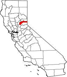
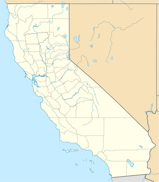 Union Hill Location in California | |
| Coordinates: 39°12′20″N 121°02′15″W | |
| Country | |
| State | |
| County | Nevada County |
| Elevation | 2,700 ft (823 m) |
| Time zone | UTC-8 (Pacific (PST)) |
| • Summer (DST) | UTC-7 (PDT) |
The Union Hill School District, established in 1868, continues to operate in Grass Valley.
History
Travelers could reach Union Hill via the Nevada County Narrow Gauge Railroad.[3] Its station was located south of Grass Valley and north of Colfax.[4]
The Union Hill mine was a good producer of gold for many years.
gollark: I have, yes.
gollark: I wonder if I can somehow preemptively Streisand effect this.
gollark: This is part of why I dislike their ownership.
gollark: Palaiologos is basically just amoral, yes.
gollark: I WILL harvest the relevant data.
References
- U.S. Geological Survey Geographic Names Information System: Union Hill, California
- Durham, David L. (1998). California's Geographic Names: A Gazetteer of Historic and Modern Names of the State. Quill Driver Books. p. 571. ISBN 1-884995-14-4.
- Preston, E. M. (1886). Nevada County, the famous Bartlett pear belt of California. Digitized Aug 29, 2008. Nevada County Land and Improvement Association. Brown & Calkins, Printers. p. 51.
- Shearer, Frederick E. (1882). The Pacific Tourist: J.R. Bowman's Illustrated Transcontinental Guide of Travel, from the Atlantic to the Pacific Ocean (Digitized Jan 30, 2008 ed.). J.R. Bowman. p. 253.
This article is issued from Wikipedia. The text is licensed under Creative Commons - Attribution - Sharealike. Additional terms may apply for the media files.