Tullychurry
Tullychurry (from Irish: Tulaigh Churraigh, meaning "hill of the marsh or moor")[1] is a townland of 521 acres in County Fermanagh, Northern Ireland. It is situated in the civil parish of Belleek and the historic barony of Lurg.[2]
Tullychurry
| |
|---|---|
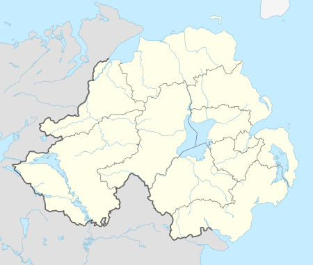 Location within Northern Ireland | |
| District | |
| County | |
| Country | Northern Ireland |
| Sovereign state | United Kingdom |
| Postcode district | BT93 |
| Dialling code | 028 |
| UK Parliament | |
| NI Assembly | |
Places of interest
Tullychurry Forest is open to the public and covers 830 hectares of coniferous woodland with large areas unplanted for conservation purposes. It is also a designated forest for horse riding.[3]
gollark: Yes, I suppose month multiplexing *could* be done?
gollark: Not really. As I said, there are 12 months and unfathomably vast amounts of causes.
gollark: It also doesn't, in my opinion, encourage good problem solving methodology, due to verbosity and a poor type system.
gollark: Java is not a low-level language and does not reflect computer innards.
gollark: It just means polynomials, but stupider.
References
- "Tullychurry". Place Names NI. Retrieved 5 May 2015.
- "Tullychurry". IreAtlas Townlands Database. Retrieved 5 May 2015.
- "Tullychurry Forest". NI Direct. Retrieved 5 May 2015.
This article is issued from Wikipedia. The text is licensed under Creative Commons - Attribution - Sharealike. Additional terms may apply for the media files.