Tugela Ferry
Tugela Ferry is a town on the northern bank of the Tugela River, in central KwaZulu-Natal, South Africa. During the apartheid era it formed part of the KwaZulu homeland, and at present it is included in the Umzinyathi District Municipality. The town's name commemorates the ferry which once operated here before a steel bridge was constructed.[2]
Tugela Ferry | |
|---|---|
 Tugela Ferry 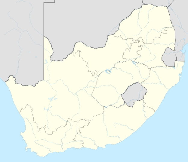 Tugela Ferry | |
| Coordinates: 28°44′S 30°26′E | |
| Country | South Africa |
| Province | KwaZulu-Natal |
| District | Umzinyathi |
| Municipality | Msinga |
| Area | |
| • Total | 4.11 km2 (1.59 sq mi) |
| Elevation | 777 m (2,549 ft) |
| Population (2011)[1] | |
| • Total | 2,093 |
| • Density | 510/km2 (1,300/sq mi) |
| Racial makeup (2011) | |
| • Black African | 97.2% |
| • Coloured | 0.7% |
| • Indian/Asian | 0.2% |
| • White | 1.9% |
| First languages (2011) | |
| • Zulu | 95.4% |
| • English | 1.9% |
| • Other | 2.7% |
| Time zone | UTC+2 (SAST) |
| PO box | 3010 |
| Area code | 033 |
The town's hospital (Church of Scotland Hospital) is renowned for having discovered the first XDR-TB outbreak in 2005.
Notes
- "Main Place Tugela Ferry". Census 2011.
- Raper, P.E. (2004). South African Place Names. Jonathan Ball, Jhb & Cape Town. p. 377. ISBN 1-86842-190-2.
Municipalities and communities of UMzinyathi District Municipality, KwaZulu-Natal | ||
|---|---|---|
District seat: Dundee | ||
| Endumeni | .svg.png) UMzinyathi District within South Africa | |
| Nquthu | ||
| Msinga | ||
| Umvoti | ||
Nedy one of the locals
gollark: HAIL TJ09!
gollark: That is, naturally, sensible. Anyone disagreeing is threatening the authority of God-Emperor TJ09.
gollark: Or dig through pages upon pages of forum thread.
gollark: You're meant to infer it from the text on the wants box, obviously.
gollark: I don't think all the mods agree on the rules anyway.
This article is issued from Wikipedia. The text is licensed under Creative Commons - Attribution - Sharealike. Additional terms may apply for the media files.