Toubkal National Park
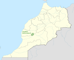
Toubkal National Park is a national park in the High Atlas mountain range, 70 kilometres from Marrakesh in central-western Morocco. Established in 1942, it covers an area of 380 km2. Jbel Toubkal is the highest peak of the park at 4,167 metres.
| Toubkal National Park | |
|---|---|
IUCN category II (national park) | |
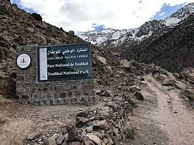 Sign of the park | |
 | |
| Location | Morocco |
| Coordinates | 31°5′N 7°50′W |
| Area | 380 km2 (150 sq mi) |
| Established | 1942 |
Archeological sites
In October 2012 Salafists were blamed for destroying an 8,000-year-old petroglyph within the park that depicted the Sun as a divinity.[1][2]
Mountains
The park contains the following mountains:
- Toubkal (4167 m)
- Ouanoukrim (4089 m )
- Plateau de Tazarhart (3995 m)
- L'Aksoual ( 3910 m)
- Ineghmar (3892 m)
- Bou Iguenouane (3882m)
- Le Tichki (3753 m)
- Azrou Tamadout (3664 m)
gollark: Climate change issues will probably hit before we actually run out of fossil fuels. There are lots of them around.
gollark: Ah, NOW the pseudoscience.
gollark: > without government regulation, how is society going to come off fossil fuels before they run out?... individual consumer choice? Fission power, if governments and idiots weren't stopping that?
gollark: You're going to need very big groups to keep modern-or-better technology in production, though.
gollark: Fires work, but aren't very good compared to electric lighting.
References
- Karam, Souhail (18 October 2012). "Salafists blamed for destroying pagan rock carving in Morocco". Reuters.
- "Region | Morocco Pagan rock carving in Morocco destroyed". Gulf News. 18 October 2012. Retrieved 18 October 2012.
| Wikimedia Commons has media related to Toubkal National Park. |
This article is issued from Wikipedia. The text is licensed under Creative Commons - Attribution - Sharealike. Additional terms may apply for the media files.