Toledo, Ozark County, Missouri
Toledo is an unincorporated community in Ozark County, in the U.S. state of Missouri.[1] Toledo is located in the valley of the Little North Fork White River, approximately four miles north of Thornfield and Missouri Route 95.[2][3]
Toledo, Missouri | |
|---|---|
Community | |
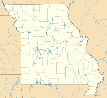 Toledo, Missouri Location of Toledo, Missouri | |
| Coordinates: 36°46′28″N 92°41′08″W[1] | |
| Country | U. S. A. |
| State | Missouri |
| County | Ozark County |
| Elevation | 272 m (892 ft) |
| Time zone | UTC-6 (CST) |
| • Summer (DST) | UTC-5 (CDT) |
History
Toledo was formerly called Benners.[4] A post office was established as Benners in 1898, the name was changed to Toledo in 1910, and the post office closed in 1942.[5] The present name is a transfer from Toledo, Ohio.[6] Little remains of the original community since much of the surrounding area was given over to the Mark Twain National Forest.[4]
gollark: You could probably make a bootleg version with a cheap transparent screen (these must surely exist) and a small computer and battery attached to a hat or something.
gollark: There seems to be a bunch of stuff which could have been cool but never got polished enough/people disliked it. Like Google Glass.
gollark: I feel like now should be more futurey.
gollark: It seems like the other (non-climate) data is actually from the "400 cities" index.
gollark: Greece is way too hot for me.
References
- U.S. Geological Survey Geographic Names Information System: Toledo, Ozark County, Missouri
- Smallett, Missouri, 7.5 Minute Topographic Quadrangle, USGS, 2004
- Thornfield, Missouri, 7.5 Minute Topographic Quadrangle, USGS, 2004
- Harvey, Hank (Sep 11, 1994). "Missouri's Toledo is just a ghost town now". Toledo Blade. p. 6. Retrieved 6 October 2015.
- "Ozark County". Jim Forte Postal History. Retrieved 6 October 2015.
- "Ozark County Place Names, 1928–1945". The State Historical Society of Missouri. Archived from the original on June 24, 2016. Retrieved November 27, 2016.
Municipalities and communities of Ozark County, Missouri, United States | ||
|---|---|---|
| City | 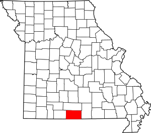 Map of Missouri highlighting Ozark County | |
| Villages | ||
| Townships |
| |
| CDPs | ||
| Other unincorporated communities | ||
| Ghost towns | ||
This article is issued from Wikipedia. The text is licensed under Creative Commons - Attribution - Sharealike. Additional terms may apply for the media files.