Tetétlen
Tetétlen is a village in Hajdú-Bihar county, in the Northern Great Plain region of eastern Hungary.
Tetétlen | |
|---|---|
 Coat of arms | |
| Country | |
| County | Hajdú-Bihar |
| Area | |
| • Total | 32.11 km2 (12.40 sq mi) |
| Population (2001) | |
| • Total | 1,455 |
| • Density | 45.31/km2 (117.4/sq mi) |
| Time zone | UTC+1 (CET) |
| • Summer (DST) | UTC+2 (CEST) |
| Postal code | 4184 |
| Area code(s) | 54 |
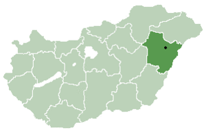
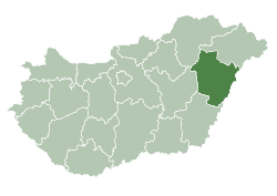
Location of Hajdú-Bihar county in Hungary
Geography
It covers an area of 32.11 km2 (12 sq mi) and has a population of 1455 people (2001).
| City with county rights |
|   |
|---|---|---|
| Towns | ||
| Large villages | ||
| Villages |
| |
| Other topics |
| |
gollark: Then you'd miss things.
gollark: Are detectable via high entropy, although that would be a bit performance-intensive to check and might be false-positive-laden.
gollark: (1285712894 = 2048)
gollark: Nope, most can't, trilateration would need 1285712894 modems.
gollark: I mean, your spammer probably produces predictable packets so you could just discard them.
This article is issued from Wikipedia. The text is licensed under Creative Commons - Attribution - Sharealike. Additional terms may apply for the media files.