Takal
Takal is the biggest village in Choha Khalsa Union Council of Kallar Syedan Tehsil, Rawalpindi District of Punjab, Pakistan. Nearby towns are Bewal and Choha Khalsa. The village named after a Sikh – Tikka Lal Singh. It is located about 15 kilometres (9.3 mi) from Kallar Syedan, towards river Jehlam.
Takal | |
|---|---|
Village | |
 | |
 Takal 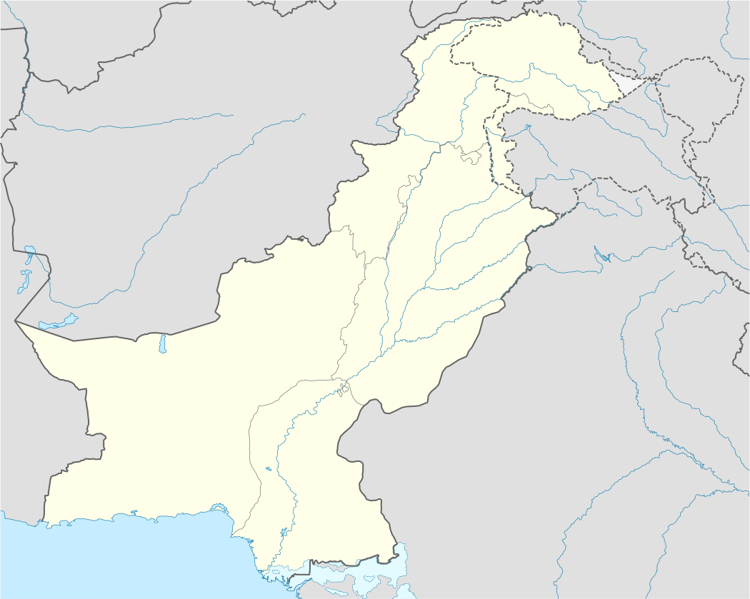 Takal | |
| Coordinates: 33°22′3″N 73°28′09″E | |
| Country | |
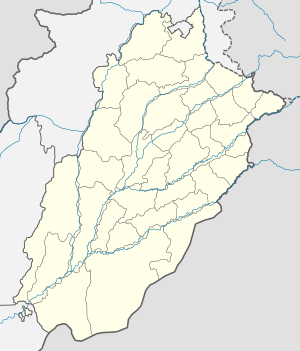
| Province | Punjab (Pakistan) |
| District | Rawalpindi |
| Tehsil | Kallar Syedan |
| UC | Choha Khalsa |
| Time zone | UTC+5 (PST) |
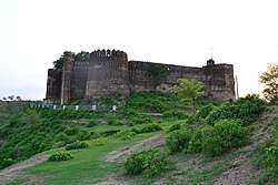
Places of interest
Schools in Takal
gollark: So... why?
gollark: Just use `event.pull` directly and use some sort of OC `parallel` equivalent (`thread`, I think).
gollark: You've messed that up, but something like that would work.
gollark: You can learn about networking AND fs!
gollark: Perhaps do, say, a modem chat program which stores logs on disk.
This article is issued from Wikipedia. The text is licensed under Creative Commons - Attribution - Sharealike. Additional terms may apply for the media files.