Sylvanite, Montana
Sylvanite is a census-designated place (CDP) in Lincoln County, Montana, United States. The population was 103 at the 2010 census.[2]
Sylvanite, Montana | |
|---|---|
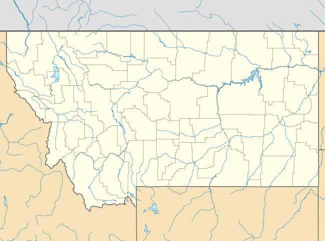 Sylvanite Location of Sylvanite, Montana  Sylvanite Sylvanite (the United States) | |
| Coordinates: 48°42′58″N 115°52′28″W | |
| Country | United States |
| State | Montana |
| County | Lincoln |
| Area | |
| • Total | 5.7 sq mi (14.8 km2) |
| • Land | 5.7 sq mi (14.8 km2) |
| • Water | 0.0 sq mi (0.0 km2) |
| Elevation | 2,715 ft (828 m) |
| Population (2010) | |
| • Total | 103 |
| • Density | 18/sq mi (7.0/km2) |
| Time zone | UTC-7 (Mountain (MST)) |
| • Summer (DST) | UTC-6 (MDT) |
| Area code(s) | 406 |
| FIPS code | 30-73165 |
| GNIS feature ID | 2583857[1] |
The community is in Kootenai National Forest in northwestern Lincoln County, in the valley of the Yaak River, a south-flowing tributary of the Kootenai River. Yaak River Road (National Forest Road 92) runs through the valley, leading south 11 miles (18 km) to U.S. Route 2 in the Kootenai valley and northeast (upriver) 17 miles (27 km) to Yaak.
According to the U.S. Census Bureau, the Sylvanite CDP has an area of 5.7 square miles (14.8 km2), all of it recorded as land.[3]
References
- U.S. Geological Survey Geographic Names Information System: Sylvanite, Montana
- "Total Population: 2010 Census DEC Summary File 1 (P1), Sylvanite CDP, Montana". data.census.gov. U.S. Census Bureau. Retrieved April 29, 2020.
- "U.S. Gazetteer Files: 2019: Places: Montana". U.S. Census Bureau Geography Division. Retrieved April 29, 2020.
Municipalities and communities of Lincoln County, Montana, United States | ||
|---|---|---|
| Cities | 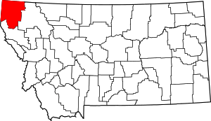 Lincoln County map | |
| Towns | ||
| CDPs | ||
| Other unincorporated communities | ||
| Authority control |
|
|---|
This article is issued from Wikipedia. The text is licensed under Creative Commons - Attribution - Sharealike. Additional terms may apply for the media files.