Sugamuxi Province
The Sugamuxi Province (Spanish pronunciation: [suɣaˈmuksi]) is a subregion of the Colombian Department of Boyacá. The subregion is formed by 13 municipalities.
Sugamuxi Province Provincia de Sugamuxi | |
|---|---|
Laguna Negra, Ocetá Páramo | |
| Etymology: Sugamuxi | |
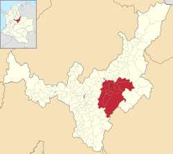 Location of Sugamuxi Province in Colombia | |
| Coordinates: 5°43′00″N 72°55′15″W | |
| Country | Colombia |
| Department | Boyacá |
| Capital | Sogamoso |
| Municipalities | 13 |
| Area | |
| • Total | 2,655.63 km2 (1,025.34 sq mi) |
| Population (2015) | |
| • Total | 200,021 |
| • Density | 75/km2 (200/sq mi) |
| Time zone | UTC−5 (COT) |
| Indigenous groups | Muisca |
Etymology
The name of the province comes from Sugamuxi, the last iraca of the Muisca and means in Chibcha: "Dwelling of the Sun".[1]
Subdivision
Sugamuxi Province comprises 13 municipalities:[2]
| Municipality bold is capital |
Area km² |
Elevation (m) urban centre |
Population 2015 |
Founded | Map |
|---|---|---|---|---|---|
| Aquitania | 943 | 3030 | 15,241 | 1777 | 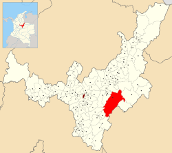 |
| Cuítiva | 43 | 2750 | 1906 | 1550 | 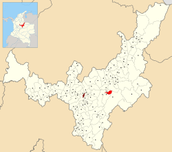 |
| Firavitoba | 109.9 | 2500 | 5730 | 1655 | 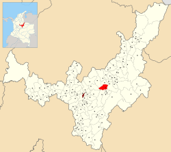 |
| Gámeza | 88 | 2750 | 4856 | 1585 | 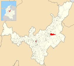 |
| Iza | 34 | 2560 | 2349 | 1556 | 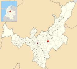 |
| Mongua | 365.5 | 2975 | 4717 | 1977 | 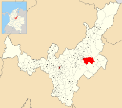 |
| Monguí | 81 | 2900 | 4986 | 1601 | 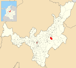 |
| Nobsa | 55.39 | 2510 | 16,271 | 1593 | 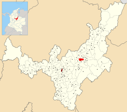 |
| Pesca | 282 | 2858 | 8032 | 1548 | 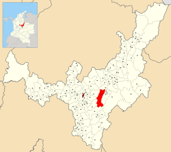 |
| Sogamoso | 208.54 | 2569 | 112,790 | 1810 | 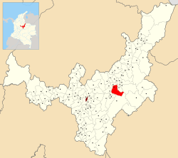 |
| Tibasosa | 94.3 | 2538 | 14,063 | 1778 | 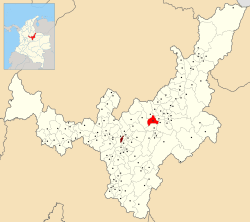 |
| Tópaga | 37 | 2900 | 3694 | 1593 | 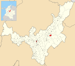 |
| Tota | 314 | 2870 | 5386 | 15XX | 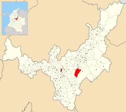 |
| Total | 2655.63 | 200,021 |
gollark: I assume apio.net is already taken?
gollark: Or actually make it be an ARG.
gollark: We could make people think it's an ARG or something.
gollark: A cryptic image of a horse?
gollark: It is technically possible to abuse ABR features to link a channel to someone's DMs.
References
- (in Spanish) Etymology Sugamuxi - Excelsio.net
- (in Spanish) Provincias de Boyacá
This article is issued from Wikipedia. The text is licensed under Creative Commons - Attribution - Sharealike. Additional terms may apply for the media files.