Stretton, Derbyshire
Stretton is a small village and civil parish in Derbyshire, England. The population of the civil parish as at the 2011 Census was 525.[1] It is located near the towns of Clay Cross and three and a half miles from Alfreton on the A61. The nearest waterways are the River Amber and Smithy Brook. Since 1964, Stretton has been beside Ogston Reservoir which still has the remains of a pub (Napoleon's Home) and a light railway within its depths.[2]
| Stretton | |
|---|---|
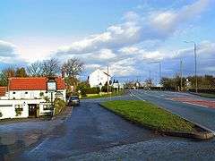 White Bear intersection. | |
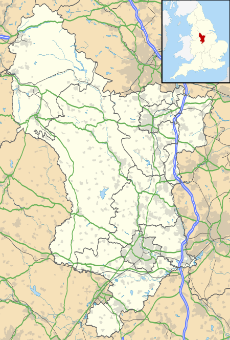 Stretton Location within Derbyshire | |
| Population | 525 (2011) |
| OS grid reference | SK392612 |
| District | |
| Shire county | |
| Region | |
| Country | England |
| Sovereign state | United Kingdom |
| Post town | ALFRETON |
| Postcode district | DE55 |
| Police | Derbyshire |
| Fire | Derbyshire |
| Ambulance | East Midlands |
The parish includes the settlement of Woolley Moor. There was once a railway station — Stretton railway station.
Stretton means "settlement on a Roman Road" (from the Old English stræt and tun). In this case the road is Ryknild Street.
References
- "Civil Parish population 2011". Neighbourhood Statistics. Office for National Statistics. Retrieved 31 March 2016.
- Stretton at DerbyshireUK accessed 28 April 2008
This article is issued from Wikipedia. The text is licensed under Creative Commons - Attribution - Sharealike. Additional terms may apply for the media files.