Stanton by Dale
Stanton by Dale is a village and civil parish in the south east of Derbyshire, England. The population of the civil parish at the 2011 census was 505.[1] It lies south of Ilkeston and north of Sandiacre. Since 1974 it has been part of the Erewash borough. The village is halfway between the cities of Derby and Nottingham, being 6.9 miles, as the crow flies, from each city.
| Stanton By Dale | |
|---|---|
 The Stanhope Arms (left), Stanhope Street | |
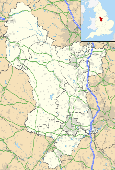 Stanton By Dale Location within Derbyshire | |
| Population | 505 (2011) |
| OS grid reference | SK 467379 |
| District | |
| Shire county | |
| Region | |
| Country | England |
| Sovereign state | United Kingdom |
| Post town | DERBY |
| Postcode district | DE7 |
| Dialling code | 0115 |
| Police | Derbyshire |
| Fire | Derbyshire |
| Ambulance | East Midlands |
| UK Parliament | |
Early history
Mentioned in the Domesday Book Survey of 1086, Stanton-by-Dale is believed to derive its name from stone quarrying in the area.
During the 13th and 14th centuries the church and much land in the parish was owned by nearby Dale (Stanley Park) Abbey. After its dissolution in 1538, the Abbey's property in Stanton was granted to the Babington family. In Elizabethan times, this was sold on to Michael Willoughby of Risley. Many local buildings contain stone which originated as part of the Abbey.
St Michael's Church dates from about 1300, although it is not certain whether there was an earlier church on this site. The tower is fifteenth century.
Stanton and the Ironworks
Earl Stanhope became Lord of the Manor in the eighteenth Century, eventually selling the parish to the Stanton Ironworks Company.
Only workers at the Ironworks, a major local employer which dominated the area for over two centuries, were allowed to live in Stanton owned properties. In later years these houses were all painted 'Stanton Green', a colour still evident in the village.
Stanton Ironworks became an international company as Stanton & Staveley, was nationalised as part of British Steel Corporation, de-nationalised and sold eventually to the French Saint-Gobain company. Production ceased at the works in 2007. It is commemorated throughout the UK and further afield by the many thousands of manhole covers and concrete street lamp standards bearing the words ’Stanton’ or ’Stanton and Staveley’.
References
- "Civil parish population 2011". Neighbourhood Statistics. Office for National Statistics. Retrieved 31 March 2016.
External links
| Wikimedia Commons has media related to Stanton-by-Dale. |
- Ilkcam village trail and more detailed information
- Stanton Ironworks archive
- Archive film - Stanton Ironworks in 1959 YouTube clip
Some of the villagers have produced a video describing a proposed 4000 house development and the associated planned access across green belt land. These plans were thrown into uncertainty again recently (Autumn 2008).
- A road to ruin - Protesters' Youtube clip
- ThisIsDerbyshire article on the proposed new road
- Stanton Ironworks site sold
- More on Saint-Gobain's sale of the Stanton site
- Current Planning Applications
Destinations from Stanton-by-Dale | ||||||||||
|---|---|---|---|---|---|---|---|---|---|---|
| ||||||||||

| Authority control |
|
|---|