South Hills, Montana
South Hills is a census-designated place (CDP) in Jefferson County, Montana, United States. The population was 517 at the 2010 census.[2]
South Hills, Montana | |
|---|---|
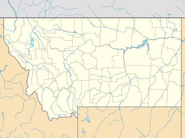 South Hills Location of South Hills, Montana  South Hills South Hills (the United States) | |
| Coordinates: 46°33′23″N 111°59′52″W | |
| Country | United States |
| State | Montana |
| County | Jefferson |
| Area | |
| • Total | 5.88 sq mi (15.23 km2) |
| • Land | 5.88 sq mi (15.23 km2) |
| • Water | 0.00 sq mi (0.00 km2) |
| Elevation | 4,803 ft (1,464 m) |
| Population (2010) | |
| • Total | 517 |
| • Density | 88/sq mi (34/km2) |
| Time zone | UTC-7 (Mountain (MST)) |
| • Summer (DST) | UTC-6 (MDT) |
| Area code(s) | 406 |
| FIPS code | 30-69725 |
| GNIS feature ID | 2583848[1] |
Geography
South Hills is in northern Jefferson County. It is bordered to the south and east by unincorporated Montana City and to the north by the city of Helena in Lewis and Clark County.
According to the U.S. Census Bureau, the South Hills CDP has an area of 5.9 square miles (15.2 km2), all of it recorded as land.[2] The community is drained by east-flowing tributaries of Prickly Pear Creek, which flows north to the Missouri River.
gollark: You might need to explicitly spe¢ify screen size somehow?
gollark: People *can* vanish, like Yemmel.
gollark: Apparently it was exploited, and so now the enchanted book market has been totally wrecked.
gollark: Unfortunately they're kind of "lost technology" now.
gollark: Bibliocraft. Typesetting table/printing press.
References
- U.S. Geological Survey Geographic Names Information System: South Hills, Montana
- "Geographic Identifiers: 2010 Census Summary File 1 (G001): South Hills CDP, Montana". American Factfinder. U.S. Census Bureau. Archived from the original on February 13, 2020. Retrieved August 22, 2018.
Municipalities and communities of Jefferson County, Montana, United States | ||
|---|---|---|
| Towns | 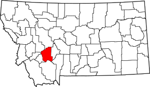 Jefferson County map | |
| CDPs | ||
| Unincorporated communities | ||
This article is issued from Wikipedia. The text is licensed under Creative Commons - Attribution - Sharealike. Additional terms may apply for the media files.