Sonkuriha
Sonkuriha, 'Suvarnakundya' in ancient times[1], is a village in Nalbari district of Western Assam.
Sonkuriha Suvarnakundya | |
|---|---|
village | |
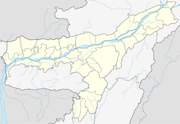
 Sonkuriha Location in Assam, India  Sonkuriha Sonkuriha (India) | |
| Coordinates: 26.39°N 91.45°E | |
| Country | |
| State | Assam |
| Region | Western Assam |
| District | Nalbari |
| Government | |
| • Body | Gram panchayat |
| Elevation | 42 m (138 ft) |
| Languages | |
| Time zone | UTC+5:30 (IST) |
| Telephone code | 03624 |
| Vehicle registration | AS-14-XXXX |
| Website | nalbari |
Etymology
The modern name is derived from Sanskrit form 'Suvarnakundya', the ancient name of the area.
History
The arthashastra of Kautilya mentioned flourishing trade with Kamrup. He mentioned finest sik of his times was produced in Sonkuriha (Suvarnakundya).[2][3] It also produced a special perfume named 'Tailaparnika', which also produced in at least six other places within Kamrup region. The Kamrup also produced Chandana and Aguru products at that time.
Like rest of Kamrup region, language used in Sonkuriha is Assamese language.
Festivals
Domahi, Amati, Durga Puja, Kali Puja (Shyama Puja, Diwali), Holi, Janmastami, Shivratri etc. are major festivals of the village. Vedic culture is widespread in day-to-day life.
Transport
The village is well connected to Nalbari and Gauhati by regular buses, trekkers and other privately owned vehicles. National Highway 427 lies in south and it is accessible through north by National Highway 27.
See also
References
- (Ghoble 2000:14) Suvarnakudya has been correctly identified with Sonkuriha in undivided kamrup, nine miles from Hajo which remained an important mart for Indo-tibetan and Bhutan trade till recent times
- Kiran Singh (1994), Textiles in ancient India: from Indus Valley Civilization to Maurya period, p.36
- Anjan Kumar Bhattacharyya (1988), Modern Accounting Concepts in Kautilya's Arthaśāstra, p.134
Bibliography
- Ghoble, T. R. (2000). India, China, and South-East Asia: Dynamics of Development. Deep & Deep Publications. ISBN 978-81-7629-204-7.