Seltannasaggart
Seltannasaggart (from Irish: Sailtean na Sagart, meaning "willow plantation of the priests"),[2] also called Corry Mountain, is a low mountain near Lough Allen on the border of County Roscommon and County Leitrim in Ireland; it is the highest point in Roscommon.
| Seltannasaggart | |
|---|---|
| Sailtean na Sagart Corry Mountain | |
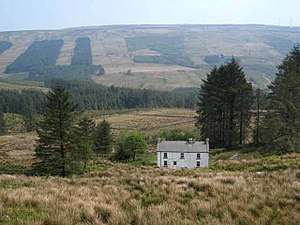 Seltannasaggart from the southwest | |
| Highest point | |
| Elevation | 428 m (1,404 ft) [1] |
| Prominence | 137 m (449 ft) [1] |
| Listing | County Top (Roscommon) |
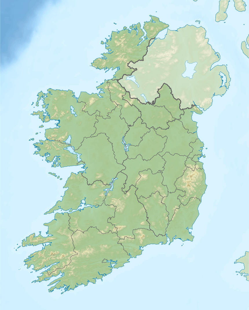
| Coordinates | 54°7′21″N 8°8′36″W [1] |
| Naming | |
| English translation | willow plantation of the priests |
| Language of name | Irish |
| Geography | |
 Seltannasaggart | |
| Parent range | Arigna Mountains |
| OSI/OSNI grid | G908142 |
Geography
The mountain is the highest point of County Roscommon. It is part of the Arigna Mountains and rises to a height of 428 metres (1,404 ft).[1] On the southern slopes are the remains of a promontory fort and sweat houses.
Access to the summit
There is a wind farm and a quarry on the summit, which is easily accessible. The Miners Way trail passes over it.
gollark: Like Macron, except it actually has a "spec".
gollark: I think they mean "exists" as "is a thing which can theoretically be implemented".
gollark: So you might not be able to reach consensus.
gollark: I think the biggest issue is that any system doing it is either going to have a central authority or some sort of web-of-trust-y federated model, and it might be possible for some groups to just completely discard votes from people they don't like.
gollark: Decentralized vote counting is... nontrivial, but probably possible.
See also
References
- "Seltannasaggart". MountainViews.ie.
- Tempan, Paul. Irish Hill and Mountain Names. MountainViews.ie.
| British Isles |  | |
|---|---|---|
| Scotland | ||
| Outside Scotland | ||
| England | ||
| Ireland | ||
| County tops | ||
Mountains and hills of Connacht | |||||||
|---|---|---|---|---|---|---|---|
List of mountains in Ireland | |||||||
| Achill Island |  | ||||||
| Dartry Mountains | |||||||
| Maumturks | |||||||
| Mweelrea Mountains |
| ||||||
| Nephin Range | |||||||
| Ox Mountains | |||||||
| Partry Mountains | |||||||
| Sheeffry Range | |||||||
| Twelve Bens |
| ||||||
| Others | |||||||
This article is issued from Wikipedia. The text is licensed under Creative Commons - Attribution - Sharealike. Additional terms may apply for the media files.