Sebayeng
Sebayeng is a township in the Polokwane Local Municipality of the Capricorn District Municipality of the Limpopo province of South Africa. It is located about 37 km east of the city of Polokwane on the R81 road.
Sebayeng Solomondale | |
|---|---|
 Sebayeng 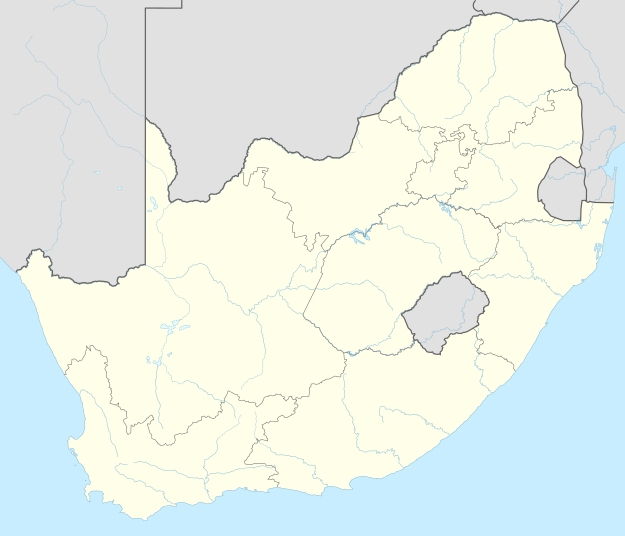 Sebayeng | |
| Coordinates: 23.885°S 29.718°E | |
| Country | South Africa |
| Province | Limpopo |
| District | Capricorn |
| Municipality | Polokwane |
| Area | |
| • Total | 6.92 km2 (2.67 sq mi) |
| Elevation | 1,086 m (3,563 ft) |
| Population (2011)[1] | |
| • Total | 13,826 |
| • Density | 2,000/km2 (5,200/sq mi) |
| Racial makeup (2011) | |
| • Black African | 99.6% |
| • Indian/Asian | 0.1% |
| • Other | 0.2% |
| First languages (2011) | |
| • Northern Sotho | 92.6% |
| • Tsonga | 3.0% |
| • Other | 4.4% |
| Time zone | UTC+2 (SAST) |
| Postal code (street) | 0964 |
| PO box | 0752 |
| Area code | +27 (0)15 |
Education
- Sebayeng Primary School.
- Mafolofolo High School.
gollark: Exciting news: all can commune with APIONET IRC™ via <#457999277311131649>.
gollark: 🎡 🎡 🎡 🎡
gollark: Python empty arrays are falsy, which I find pretty bee.
gollark: I want to know if I can get away with inefficiency much.
gollark: <@!293066066605768714> How long will the lists be in the list sorting event?
References
- "Main Place Sebayeng". Census 2011.
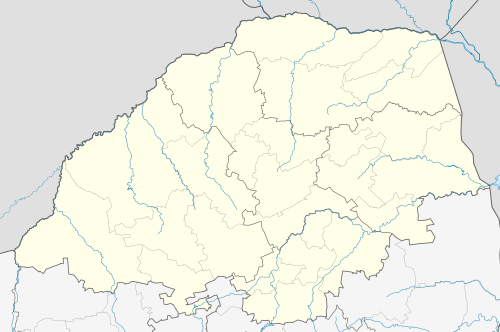
Municipalities and communities of Capricorn District Municipality, Limpopo | ||
|---|---|---|
District seat: Polokwane | ||
| Aganang | .svg.png) Capricorn District within South Africa | |
| Blouberg | ||
| Molemole | ||
| Polokwane | ||
| Lepelle-Nkumpi | ||
This article is issued from Wikipedia. The text is licensed under Creative Commons - Attribution - Sharealike. Additional terms may apply for the media files.