Saskylakh
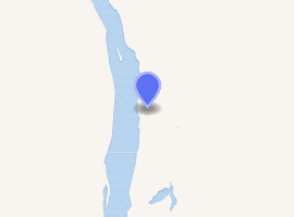
Saskylakh (Russian: Саскылах; Yakut: Сааскылаах) is a rural locality (a selo) and the administrative center of Anabarsky District in the Sakha Republic, Russia,[1] located on the right bank of the Anabar River, on which it is one of the main ports. Its population as of the 2010 Census was 2,317,[2] up from 1,985 recorded during the 2002 Census[6] and further up from 1,856 recorded during the 1989 Census.[7]
Saskylakh Саскылах | |
|---|---|
| Other transcription(s) | |
| • Sakha | Сааскылаах |
 Pier near the village of Saskylakh | |
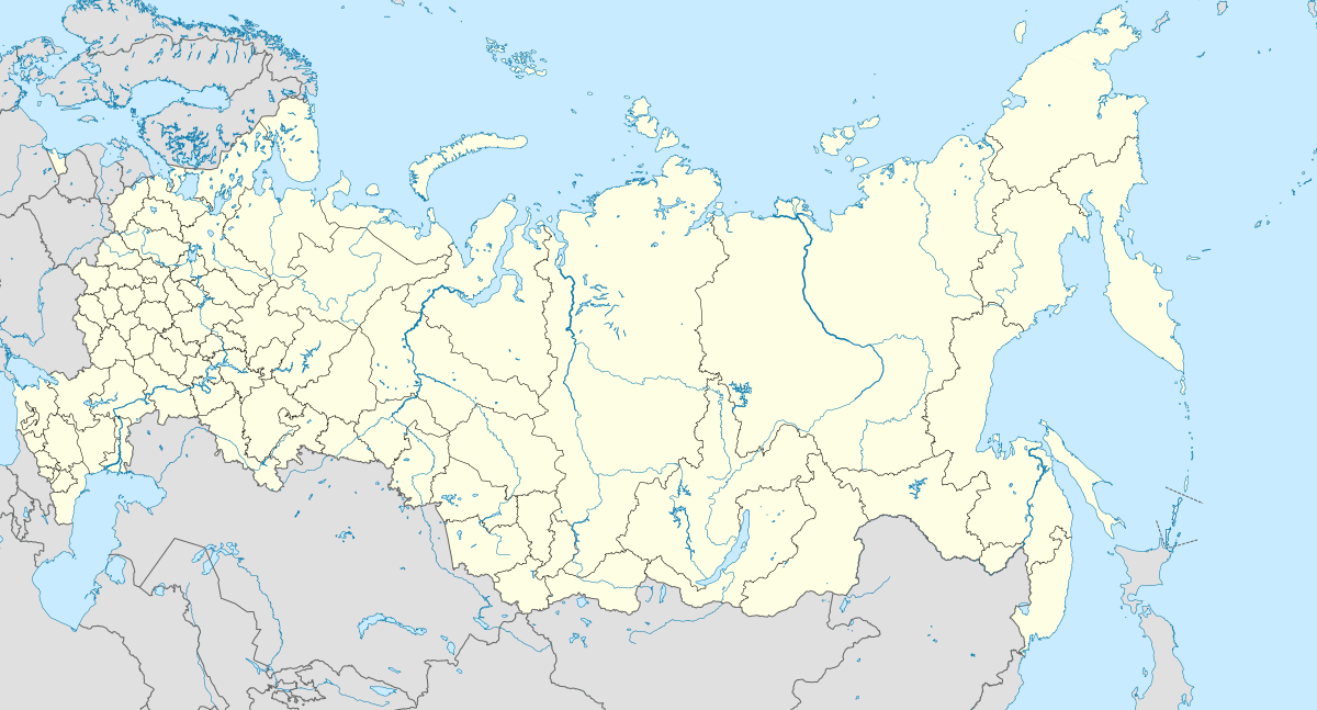
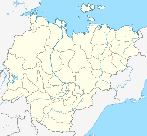
Location of Saskylakh 
| |
 Saskylakh Location of Saskylakh  Saskylakh Saskylakh (Sakha Republic) | |
| Coordinates: 71°57′55″N 114°05′32″E | |
| Country | Russia |
| Federal subject | Sakha Republic[1] |
| Administrative district | Anabarsky District[1] |
| Rural okrug | Saskylakhsky Rural Okrug[1] |
| Founded | 1930 |
| Elevation | 24 m (79 ft) |
| Population | |
| • Total | 2,317 |
| • Capital of | Saskylakhsky Rural Okrug[1] |
| • Municipal district | Anabarsky Municipal District[3] |
| • Rural settlement | Saskylakhsky Rural Settlement[3] |
| • Capital of | Saskylakhsky Rural Settlement[3] |
| Time zone | UTC+9 (MSK+6 |
| Postal code(s)[5] | 678440 |
| OKTMO ID | 98610411101 |
History
It was founded in 1930 as a part of Soviet efforts to settle the nomadic Yakuts, Evenks, and Dolgans who lived in the area.
Transportation
There are no year-round roads leading to Saskylakh, although there is a winter road which leads to Olenyok and then further 600 kilometers (370 mi) south to Udachny. In the opposite direction, the road also continues downstream along the Anabar to Yuryung-Khaya.
There is also a small airport a few kilometers south.
Climate
Despite lying well inside the Arctic Circle, Saskylakh has a subarctic climate (Köppen climate classification Dfc)[8] with very short, mild summers and severely cold winters. Precipitation is moderate; it falls mostly as rain in summer and mainly as snow throughout the rest of the year.
| Climate data for Saskylakh | |||||||||||||
|---|---|---|---|---|---|---|---|---|---|---|---|---|---|
| Month | Jan | Feb | Mar | Apr | May | Jun | Jul | Aug | Sep | Oct | Nov | Dec | Year |
| Record high °C (°F) | −2.2 (28.0) |
−2.4 (27.7) |
2.3 (36.1) |
9.8 (49.6) |
23.8 (74.8) |
32.7 (90.9) |
35.6 (96.1) |
31.3 (88.3) |
24.6 (76.3) |
9.6 (49.3) |
1.5 (34.7) |
−2.3 (27.9) |
35.6 (96.1) |
| Mean maximum °C (°F) | −15.2 (4.6) |
−16.8 (1.8) |
−6.7 (19.9) |
0.3 (32.5) |
8.7 (47.7) |
26.0 (78.8) |
27.1 (80.8) |
23.5 (74.3) |
14.0 (57.2) |
1.8 (35.2) |
−8.4 (16.9) |
−13.0 (8.6) |
28.7 (83.7) |
| Average high °C (°F) | −30.5 (−22.9) |
−30.0 (−22.0) |
−23.3 (−9.9) |
−13.4 (7.9) |
−3.1 (26.4) |
9.6 (49.3) |
16.7 (62.1) |
12.9 (55.2) |
4.1 (39.4) |
−9.6 (14.7) |
−23.8 (−10.8) |
−28.8 (−19.8) |
−9.9 (14.1) |
| Daily mean °C (°F) | −34.3 (−29.7) |
−33.9 (−29.0) |
−28.1 (−18.6) |
−18.7 (−1.7) |
−6.8 (19.8) |
5.5 (41.9) |
11.5 (52.7) |
8.3 (46.9) |
1.0 (33.8) |
−13.0 (8.6) |
−27.7 (−17.9) |
−32.6 (−26.7) |
−14.1 (6.7) |
| Average low °C (°F) | −38.0 (−36.4) |
−37.6 (−35.7) |
−32.6 (−26.7) |
−23.9 (−11.0) |
−10.5 (13.1) |
2.0 (35.6) |
7.0 (44.6) |
4.4 (39.9) |
−1.7 (28.9) |
−16.6 (2.1) |
−31.5 (−24.7) |
−36.3 (−33.3) |
−17.9 (−0.3) |
| Mean minimum °C (°F) | −48.2 (−54.8) |
−49.2 (−56.6) |
−44.9 (−48.8) |
−34.5 (−30.1) |
−20.4 (−4.7) |
−3.6 (25.5) |
1.5 (34.7) |
−0.9 (30.4) |
−7.9 (17.8) |
−28.4 (−19.1) |
−40.5 (−40.9) |
−46.6 (−51.9) |
−52.1 (−61.8) |
| Record low °C (°F) | −58.8 (−73.8) |
−60.3 (−76.5) |
−54.7 (−66.5) |
−46.8 (−52.2) |
−32.0 (−25.6) |
−12.6 (9.3) |
−2.1 (28.2) |
−5.6 (21.9) |
−18.1 (−0.6) |
−42.0 (−43.6) |
−50.8 (−59.4) |
−59.9 (−75.8) |
−60.3 (−76.5) |
| Average precipitation mm (inches) | 10 (0.4) |
8 (0.3) |
9 (0.4) |
9 (0.4) |
15 (0.6) |
17 (0.7) |
23 (0.9) |
31 (1.2) |
19 (0.7) |
20 (0.8) |
14 (0.6) |
10 (0.4) |
185 (7.4) |
| Average precipitation days | 16.6 | 14.7 | 14.7 | 14.6 | 14.7 | 14.0 | 14.0 | 15.4 | 16.4 | 21.4 | 18.0 | 16.0 | 193.5 |
| Average relative humidity (%) | 74.4 | 73.3 | 74.2 | 74.8 | 78.1 | 71.3 | 71.9 | 79.2 | 83.8 | 83.7 | 78.4 | 75.1 | 76.5 |
| Mean monthly sunshine hours | 0.0 | 11.2 | 133.3 | 246.0 | 204.6 | 249.0 | 251.1 | 145.7 | 51.0 | 12.4 | 0.0 | 0.0 | 1,304.3 |
| Source 1: Roshydromet[9] | |||||||||||||
| Source 2: climatebase.ru (1957-2011)[10] | |||||||||||||
References
Notes
- Registry of the Administrative-Territorial Divisions of the Sakha Republic
- Russian Federal State Statistics Service (2011). "Всероссийская перепись населения 2010 года. Том 1" [2010 All-Russian Population Census, vol. 1]. Всероссийская перепись населения 2010 года [2010 All-Russia Population Census] (in Russian). Federal State Statistics Service.
- Law #173-Z 353-III
- "Об исчислении времени". Официальный интернет-портал правовой информации (in Russian). June 3, 2011. Retrieved January 19, 2019.
- Почта России. Информационно-вычислительный центр ОАСУ РПО. (Russian Post). Поиск объектов почтовой связи (Postal Objects Search) (in Russian)
- Russian Federal State Statistics Service (May 21, 2004). "Численность населения России, субъектов Российской Федерации в составе федеральных округов, районов, городских поселений, сельских населённых пунктов – районных центров и сельских населённых пунктов с населением 3 тысячи и более человек" [Population of Russia, Its Federal Districts, Federal Subjects, Districts, Urban Localities, Rural Localities—Administrative Centers, and Rural Localities with Population of Over 3,000] (XLS). Всероссийская перепись населения 2002 года [All-Russia Population Census of 2002] (in Russian).
- "Всесоюзная перепись населения 1989 г. Численность наличного населения союзных и автономных республик, автономных областей и округов, краёв, областей, районов, городских поселений и сёл-райцентров" [All Union Population Census of 1989: Present Population of Union and Autonomous Republics, Autonomous Oblasts and Okrugs, Krais, Oblasts, Districts, Urban Settlements, and Villages Serving as District Administrative Centers]. Всесоюзная перепись населения 1989 года [All-Union Population Census of 1989] (in Russian). Институт демографии Национального исследовательского университета: Высшая школа экономики [Institute of Demography at the National Research University: Higher School of Economics]. 1989 – via Demoscope Weekly.
- McKnight and Hess, pp. 232-235
- "Climate of Saskylakh" (in Russian). Weather and Climate (Погода и климат). Retrieved November 3, 2019.
- "Saskylah, Russia". Climatebase.ru. Retrieved January 16, 2015.
Sources
- Official website of the Sakha Republic. Registry of the Administrative-Territorial Divisions of the Sakha Republic. Anabarsky District. (in Russian)
- Государственное Собрание (Ил Тумэн) Республики Саха (Якутия). Закон №173-З №353-III от 30 ноября 2004 г. «Об установлении границ и о наделении статусом городского и сельского поселений муниципальных образований Республики Саха (Якутия)», в ред. Закона №1058-З №1007-IV от 25 апреля 2012 г. «О внесении изменений в Закон Республики Саха (Якутия) "Об установлении границ и о наделении статусом городского и сельского поселений муниципальных образований Республики Саха (Якутия)"». Вступил в силу со дня официального опубликования. Опубликован: "Якутия", №245, 31 декабря 2004 г. (State Assembly (Il Tumen) of the Sakha (Yakutia) Republic. Law #173-Z No. 353-III of November 30, 2004 On Establishing the Borders and on Granting the Urban and Rural Settlement Status to the Municipal Formations of the Sakha (Yakutia) Republic, as amended by the Law #1058-Z No. 1007-IV of April 25, 2012 On Amending the Law of the Sakha (Yakutia) Republic "On Establishing the Borders and on Granting the Urban and Rural Settlement Status to the Municipal Formations of the Sakha (Yakutia) Republic". Effective as of the day of the official publication.).
- McKnight, Tom L; Hess, Darrel (2000). "Climate Zones and Types". Physical Geography: A Landscape Appreciation. Upper Saddle River, NJ: Prentice Hall. ISBN 0-13-020263-0.