Santa Catalina, Uruguay
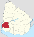
Santa Catalina is a village in the Soriano Department of western Uruguay.
Santa Catalina | |
|---|---|
Village | |
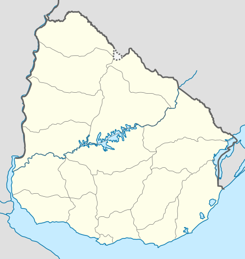
 Santa Catalina Location in Uruguay | |
| Coordinates: 33°47′0″S 57°29′0″W | |
| Country | |
| Department | Soriano Department |
| Population (2011) | |
| • Total | 998 |
| Time zone | UTC -3 |
| Postal code | 75201 |
| Dial plan | +598 4538 (+4 digits) |
Location
The village is located on Route 2, about 15 kilometres (9.3 mi) northwest of Cardona and 12 kilometres (7.5 mi) southeast of José Enrique Rodó. The railroad track Montevideo - Mercedes passes through the town.
History
On 19 December 1940, the status of the populated nucleus here was elevated to "Pueblo" (village) by the Act of Ley Nº 9.985.[1] Previously, it had been the head of the judicial section "Arroyo el Medio".[2]
Population
In 2011 Santa Catalina had a population of 998.[3]
| Year | Population |
|---|---|
| 1908 | 1,894 |
| 1963 | 824 |
| 1975 | 884 |
| 1985 | 882 |
| 1996 | 929 |
| 2004 | 1,053 |
| 2011 | 998 |
Source: Instituto Nacional de Estadística de Uruguay[2]
gollark: <@330678593904443393> where is poll?!?!?!?!
gollark: How is it meant to know if any of us are on relativistic spaceships, οr neαr black holes?
gollark: υαυ γρεεκ!
gollark: τυπε ιν γρεεκ - ιτ ις κοολ
gollark: es***ngs are cool.
References
- "Ley Nº 9.985". República Oriental del Uruguay, Poder Legislativo. 1940. Retrieved 5 September 2012.
- "Statistics of urban localities (1908–2004)" (PDF). INE. 2012. Retrieved 5 September 2012.
- "Censos 2011 Soriano (needs flash plugin)". INE. 2012. Retrieved 30 August 2012.
External links
This article is issued from Wikipedia. The text is licensed under Creative Commons - Attribution - Sharealike. Additional terms may apply for the media files.
